


Norsworthy Bridge
Sun 14th Jan 2024
Walk Details:
A tough route, given the time of year. Much across open moorland. Some parts using Abbot's Way & Dartmoor Way. Waterproof & warm clothing essential
Entry Details:
Walk Report
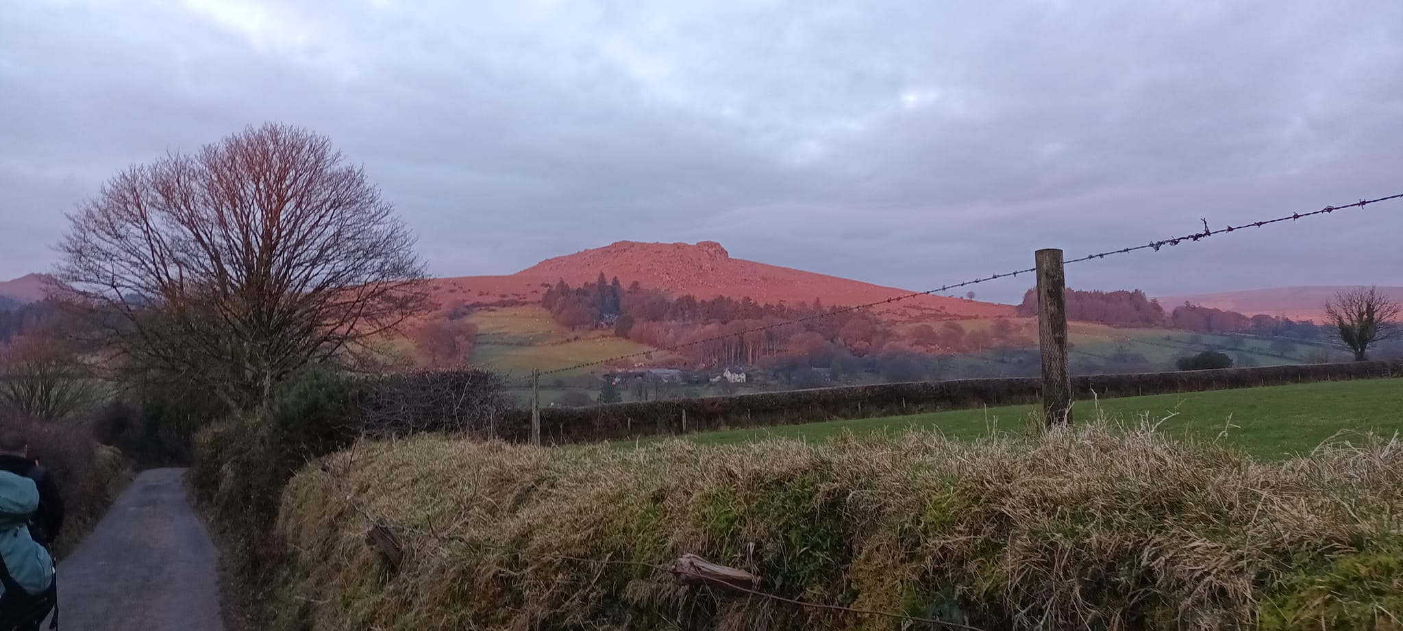
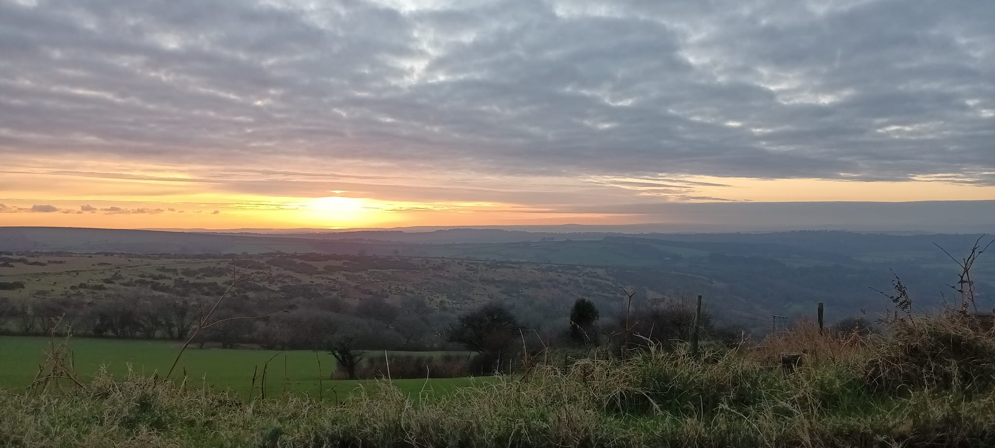
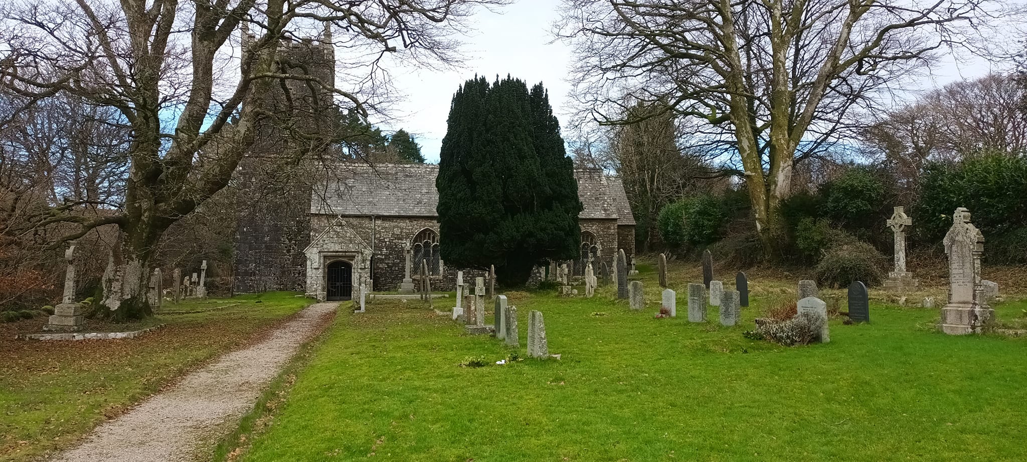
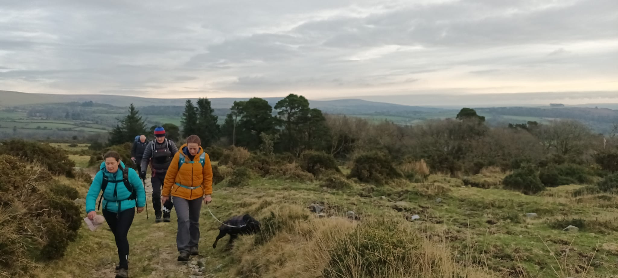
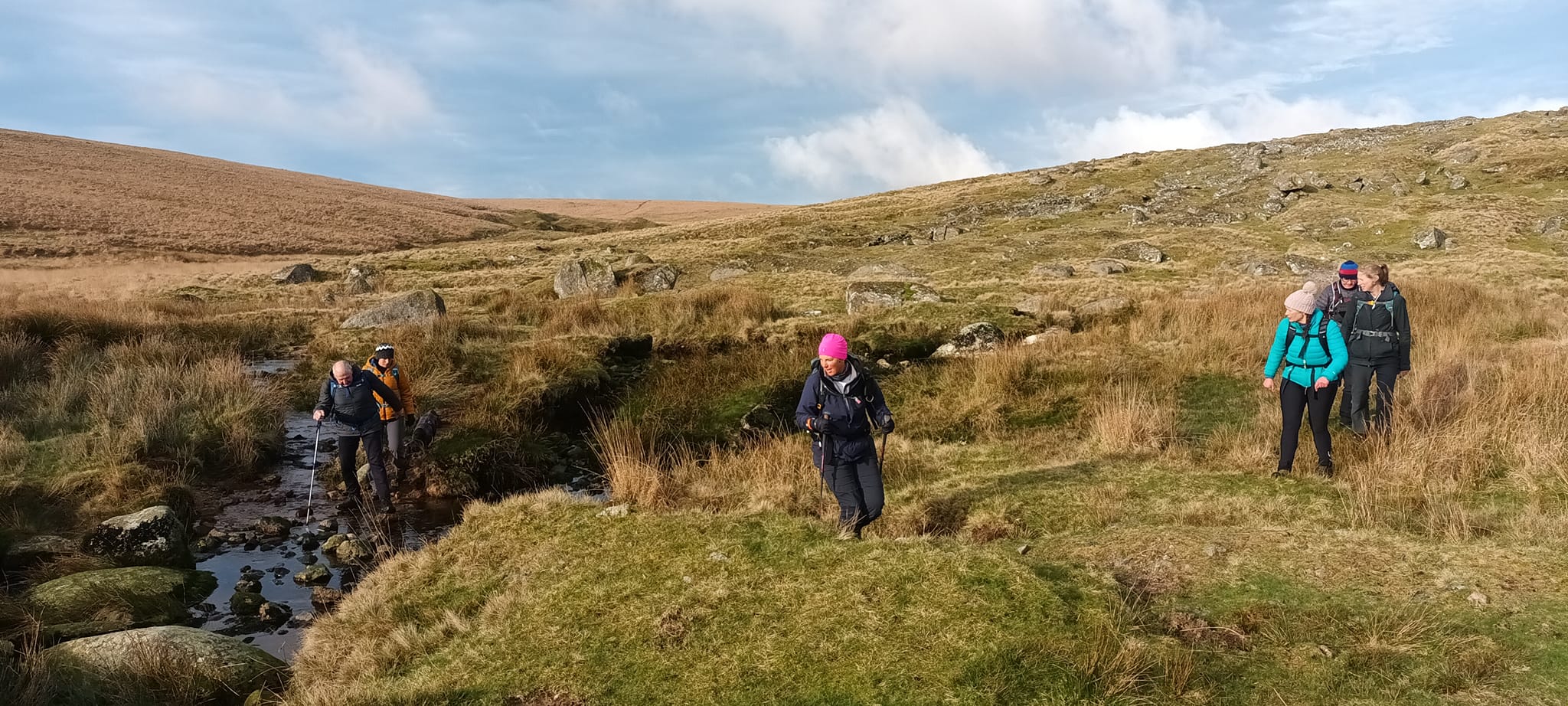
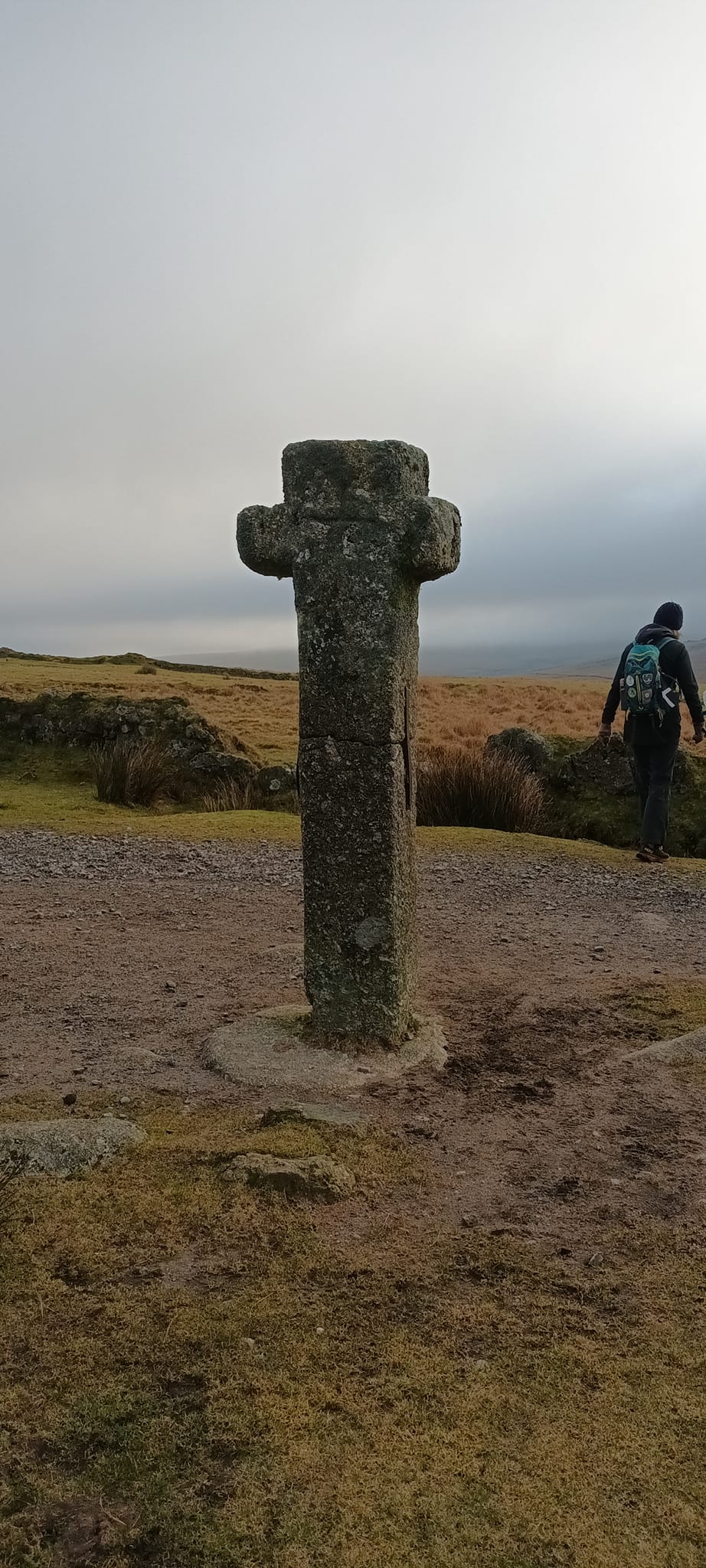
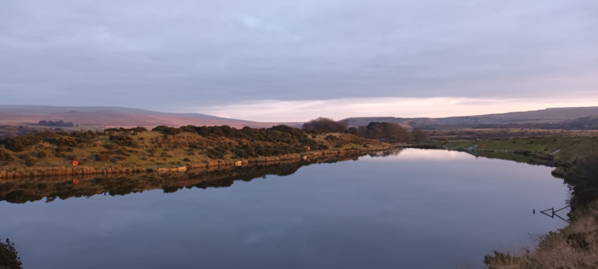
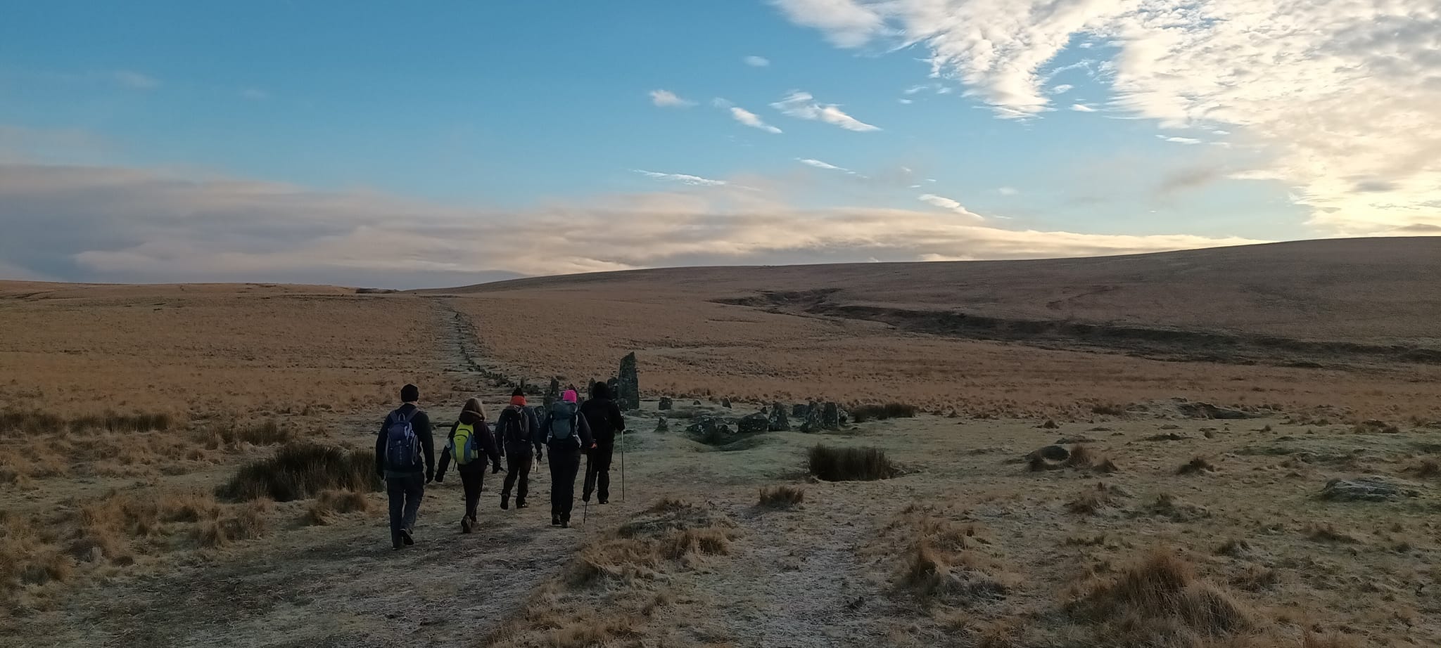
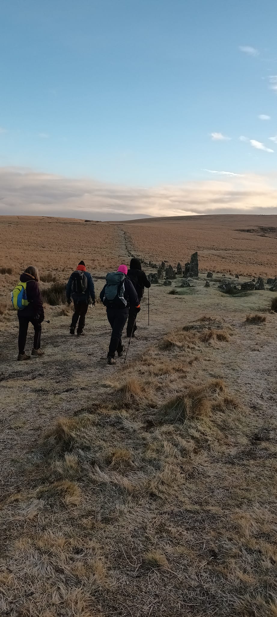
12 people in all,11 C&D LDWA members and 1 Moorland Rambler (Sam Hughes) took part in this circular walk from Norsworthy Bridge car park. A start 0f 08.30 was made (from the time this walk was first put on the LDWA website) to maximise use of available daylight. This proved to be the right decision as though all members carried a torch and high viz, we arrived back at the car park at 5pm. Just before sunset. One member, Pearl sank into the mire up to her waste at Erme Head Pits. I pulled her out and some spare dry clothing, carried by other group members was used for the rest of her walk. Lunch was taken at Harford Church. Although the start time had always been given as 08.30 I recieved a phone call at 09.00 from Sebastian a non-member who had signed up through "meetup", stating he thought it to be a 09.00 start. I have since checked the Meetup group site and confirmed that the times of 08.20 for a 08.30 start had been published there also.Other Files
GPX
A GPX file of the above route may be downloaded by clicking the link below.
Note: GPX files of Group Walks are created by LDWA Group members, and may be downloaded only by other LDWA members. They should not be made available outside the LDWA, and are used at members' own risk.
Login to Download (Members Only)You can use the interactive controls to zoom in and out and to move around the map, or click on a path or a marker for more info. (interactive map help)
You can use the interactive controls to zoom in and out and to move around the map, or click on a path or a marker for more info. (interactive map help)
© OpenStreetMap contributors under Open Database Licence
Rights of way data from selected Local Authorities
Large scale digital mapping is provided by John Thorn
At high zoom levels the route is indicative only.
Gallery
Maps:
You can use the interactive controls to zoom in and out and to move around the map, or click on a marker for more info. (interactive map help)
© OpenStreetMap contributors under Open Database Licence.
Rights of way data from selected Local Authorities.
Large scale digital mapping is provided by John Thorn.


