Last updated 12 February 2022
![]()

A rolling calendar of Challenge Events organised by both the LDWA and non-LDWA taking place throughout the UK over the coming year is available to View as a Map or to View as a List.
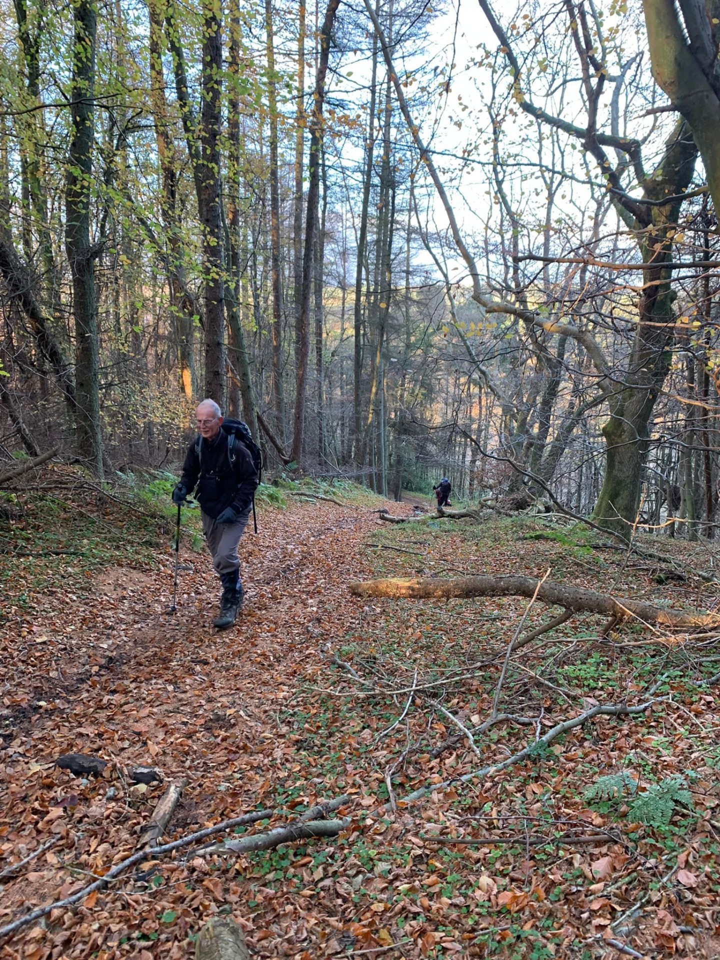
A Challenge Event can be either rural or urban, mostly on public footpaths and other public rights of way, frequently across open fields or on forestry tracks, riverside paths, hills and moorland, avoiding tarmac as much as possible.
The challenge is to the individual and is NOT a race. The distances include at least one option over 20 miles. Participants completing a walk of more than 50 miles qualify to enter the LDWA's 'flagship' Event, The Hundred. Held over the Spring Bank Holiday weekend in a different part of the country each year, with a limit of 500 participants, the challenge is to walk a hundred miles in less than 48 hours.
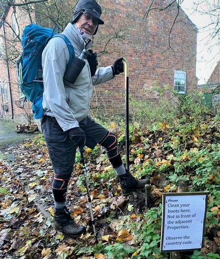
All challenge events have checkpoints, many with refreshments, but it is essential to carry water and some energy-giving food of your choice. Many challenge events have a 'Marshals' Walk' a week or two before the main event. This gives volunteer members of the organising group an opportunity to also enjoy the event (complete with certificate and badge as appropriate) before helping, often at a checkpoint, on the day itself. A route description (RD) is available on most challenge events (Kanters using a series of grid references are an exception). RDs for longer distances will be available to download before the day. Amongst other essential items, participants are expected to carry a compass and the relevant OS map(s) for the area - and to know how to use them. You can buy OS maps for challenge events from this site.
LDWA local groups also host regular Social Walks, led by one of their experienced members, and generally varying in length between 15-25 miles. You can find out more by clicking here.
The event pages use interactive maps built upon an open-source library called OpenLayers. A number of controls are available to help navigate around these maps:
 |
The Pan control can be used to move the map up, down, left or right. Alternatively you can move the map around by left clicking your mouse on it and holding it as you drag it around. |
 |
The Zoom control can be used for zooming the map in or out. Zooming the map in will show larger scale maps and zooming it out will show smaller scale maps. The scale of maps, number of available zoom levels and the starting display level may differ depending on what the map is being used for. |
 |
This marker is used to show Challenge Events. Clicking on one of these markers will bring up a box showing details of the event. Clicking on the event name will take you to the corresponding event page. |
 |
This marker is used to show Social Walks. Clicking on one of these markers will bring up a box showing details of the walk. Clicking on the walk name will take you to the corresponding event page. |
 |
This marker is used to show Other Walking Events. Clicking on one of these markers will bring up a box showing details of the event. Clicking on the event name will take you to the corresponding event page. |
 |
This marker is used to show a Group Accommodation location. Clicking on one of these markers will bring up a box showing the name of the accommodation and its type. Clicking on the accommodation name will take you to the corresponding accommodation page. |