


Brandon Out & About
Sun 11th Dec 2022
Walk Details:
From George Street carpark we head out to do a loop around Santon Downham, heading back towards Brandon along Hereward Way and St Edmunds Way.
We then head towards Weeting picking up a track past Belvedere Wood leading into Hockwold-cum-Wilton. This is likely to be the lunch stop.
After lunch there is some canal and riverside walking before picking up Hereward Way back towards Brandon.
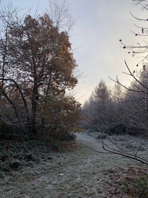
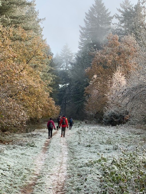
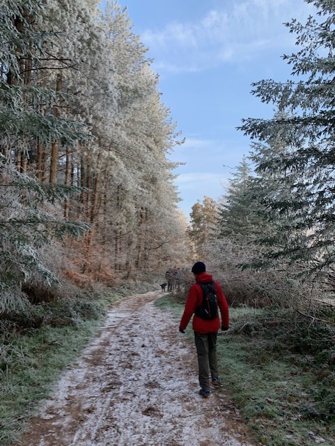
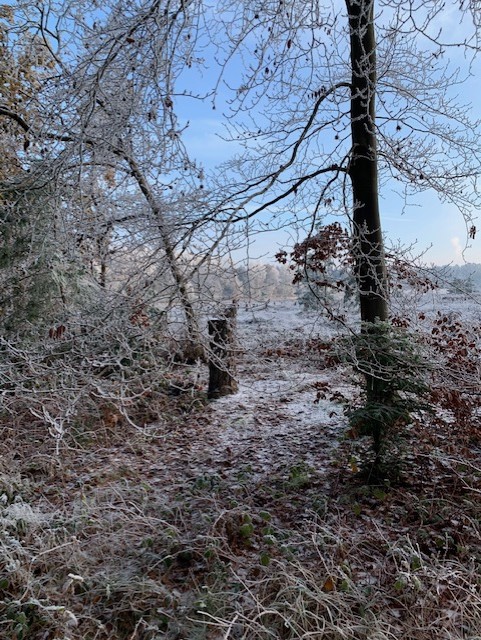
Paths along the route are varied but mainly good. However, expect some wet grass and (hopefully only a little) mud due to the time of year.
There are shops along the route but please bring enough food and drink in case they are not open.
Dogs welcome; there are some sections of the walk where dogs must be on a lead
Entry Details:
Other Files
GPX
A GPX file of the above route may be downloaded by clicking the link below.
Note: GPX files of Group Walks are created by LDWA Group members, and may be downloaded only by other LDWA members. They should not be made available outside the LDWA, and are used at members' own risk.
Login to Download (Members Only)You can use the interactive controls to zoom in and out and to move around the map, or click on a path or a marker for more info. (interactive map help)
You can use the interactive controls to zoom in and out and to move around the map, or click on a path or a marker for more info. (interactive map help)
© OpenStreetMap contributors under Open Database Licence
Rights of way data from selected Local Authorities
Large scale digital mapping is provided by John Thorn
At high zoom levels the route is indicative only.
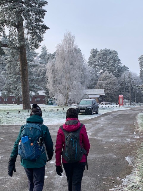
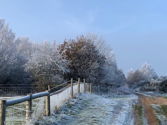
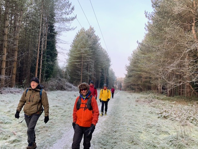
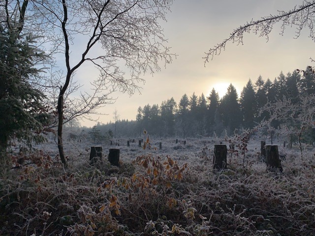
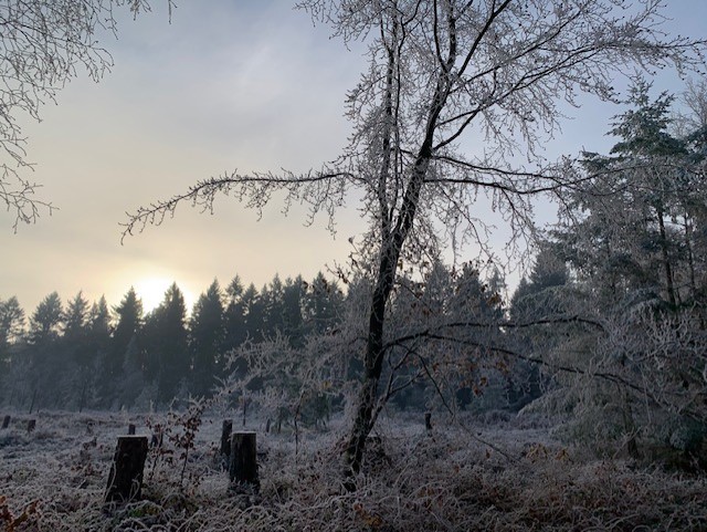
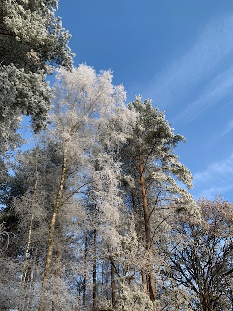
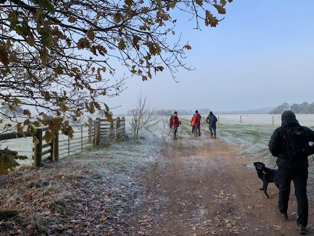
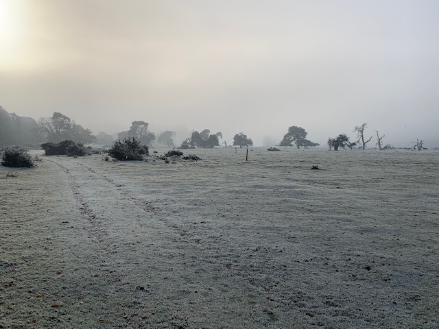
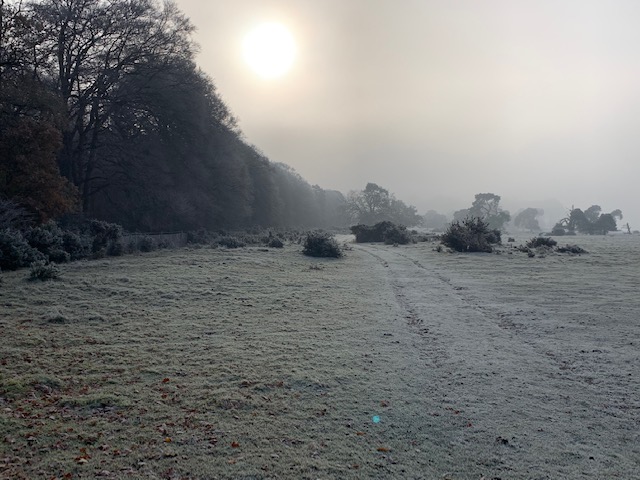
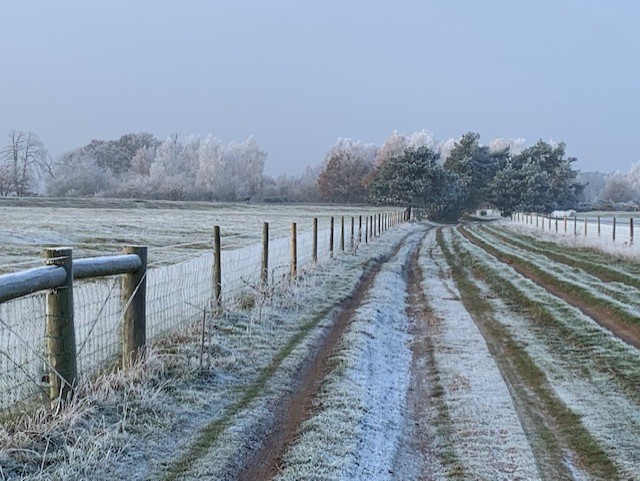
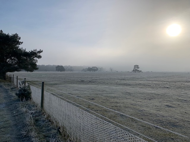
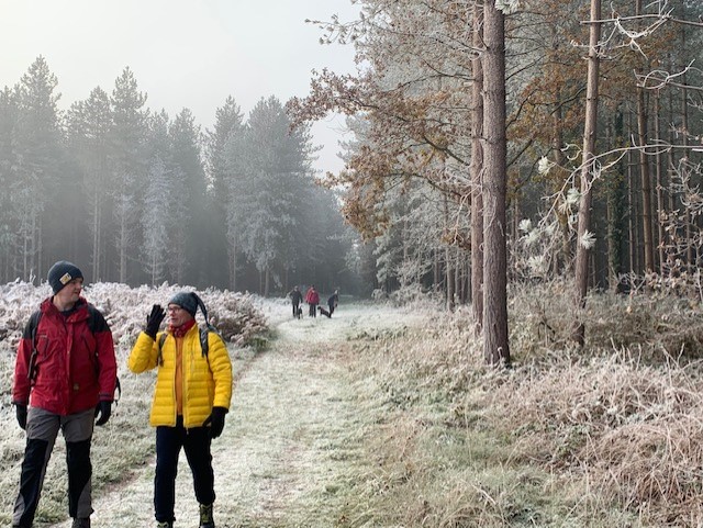
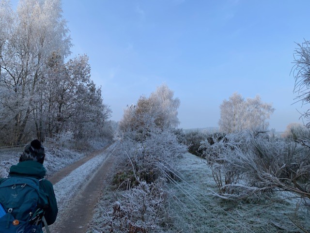
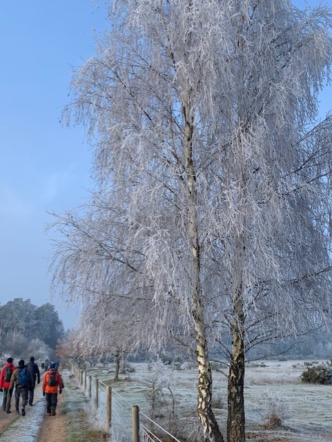
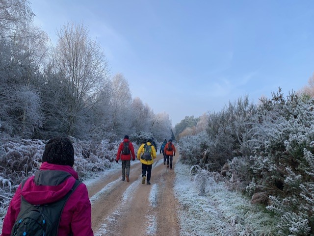
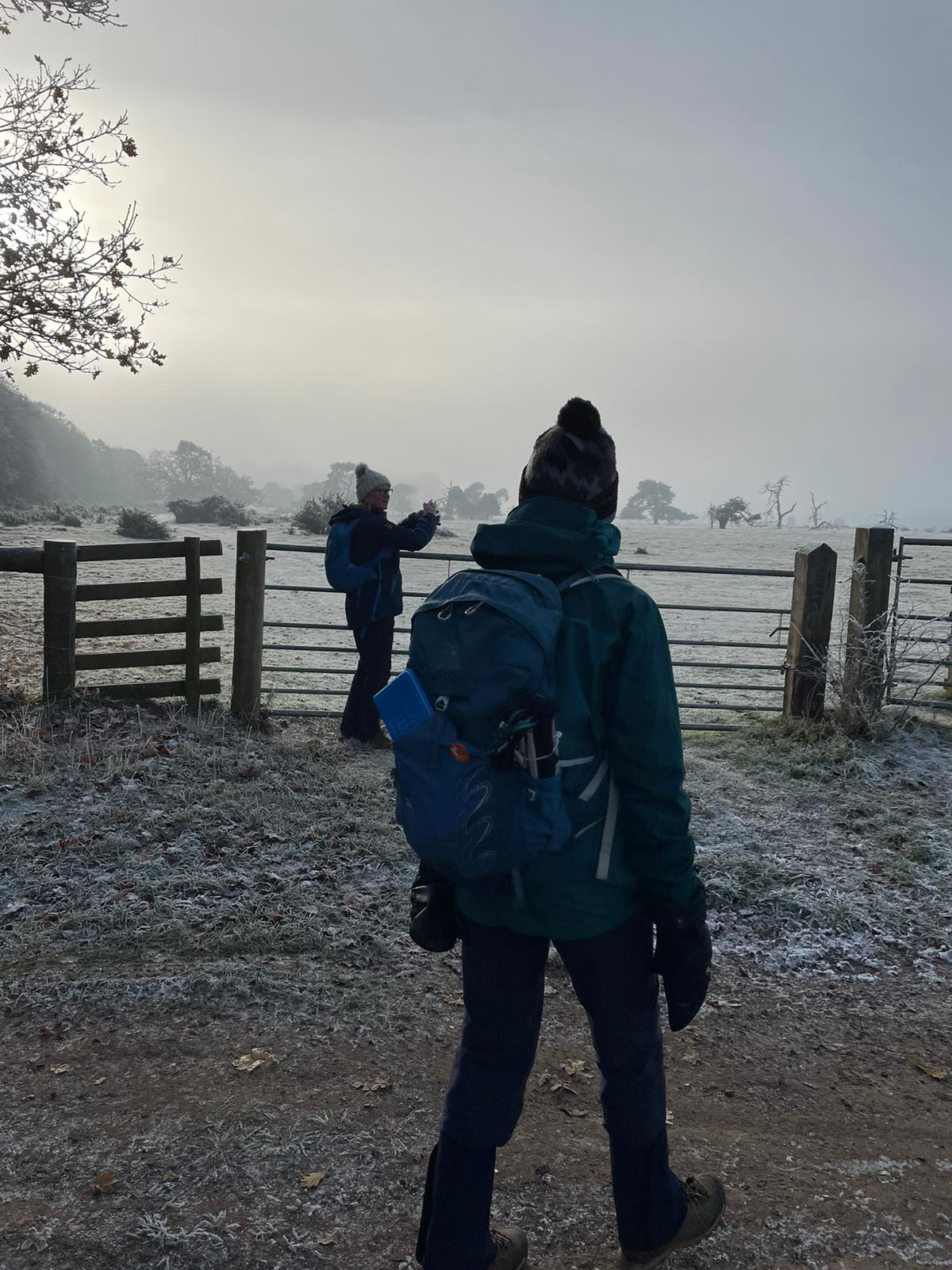
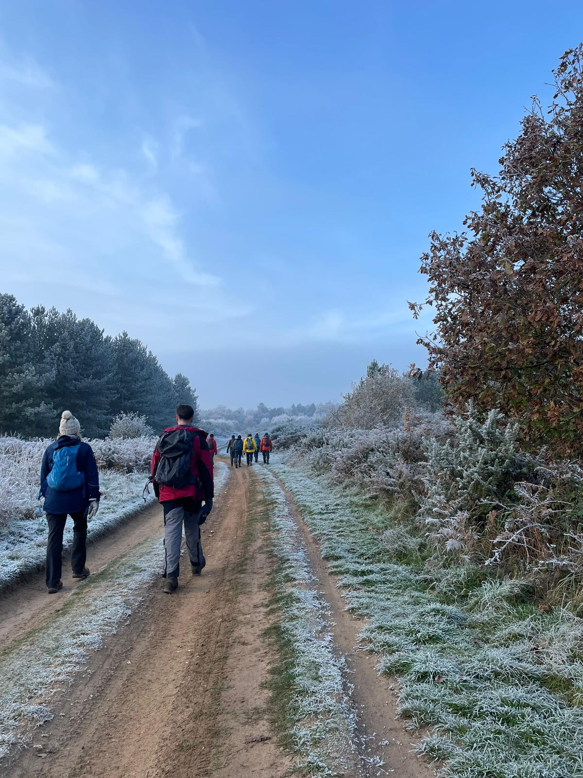
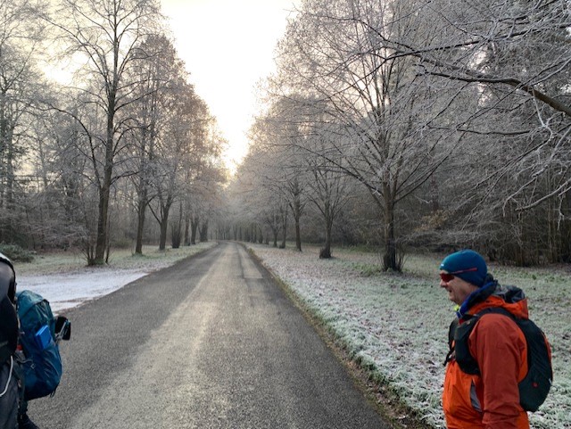
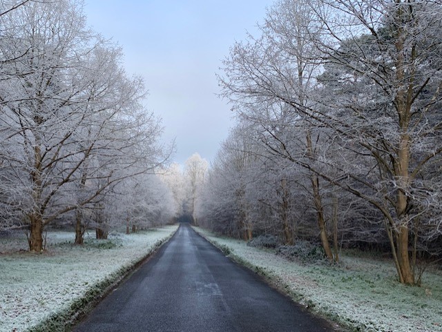
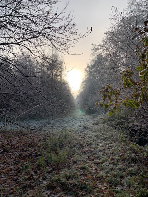
Gallery

Maps:
You can use the interactive controls to zoom in and out and to move around the map, or click on a marker for more info. (interactive map help)
© OpenStreetMap contributors under Open Database Licence.
Rights of way data from selected Local Authorities.
Large scale digital mapping is provided by John Thorn.


