


The Burnley and Other Ways
 Walk Leader – Neil Harwood
Number on walk – 17
Distance – 19.6 miles, slightly more than advertised!
Weather – Warm, sunny and clear blue skies for most of the day!
The objective of the walk was to create a route that was predominantly based upon the Burnley Way (BW), a 40 mile circular walk starting in Burnley and covering the surrounding countryside. In order to cut this down to the advertised 18 miles two other Ways were used – The Bronte Way and the Pennine Bridle Way (PBW). Finally, I had a choice of incorporating a fourth Way – to head further north and pick up part of the Pendle Way or further East and add in the Pennine Way. After much deliberation I opted for the latter.
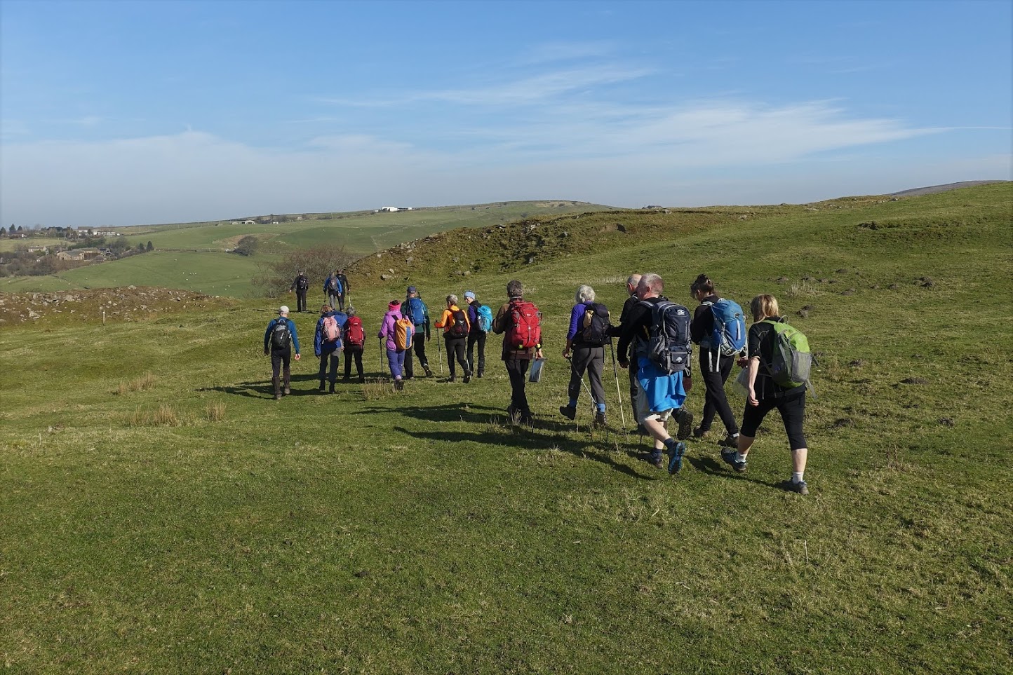
The walk began at 8.30am in Towneley Park in Burnley – this early start was evidently too early for the Park Rangers as we had to break into the car park before we could begin! The starting point is on the BW and we followed this in SW direction to the impressive Townley Hall and then on over the Todmorden Road and back into the Centre of Burnley along the route of the Railway and then some of the terraced streets of this old mill town. This necessitated a short diversion off the BW, which heads off south towards the Hamledon Hills and then loops around back to the centre of Burnley via Hapton, Padiham, the Calder Valley and West Burnley.
So we picked up the BW again at the start of the “Burnley Mile”. As you know I love my canals and especially the history of the Leeds Liverpool and this was an ideal opportunity to show off this impressive double embankment on the Leeds Liverpool. It was built over 5 years and finished in 1801 and needed 0.5million tons of earth to be moved to construct it. It is not quite 1 mile long but is up to 60 foot high in parts and allows the canal to cross through the centre of Burnley and its valley without expensive locks or the considerable digging required if the canal had followed the contours to the east. Whilst at first sight it just looks like a piece of straight canal, it is one of the “Seven Wonders of the Waterways”!
At the end of the “Mile” we dropped into Thompson Park, underneath the aqueduct which takes the canal over the River Brun and then followed the BW up the Brun valley. The Brun is the second river (the other is the Calder) in Burnley and the one after which Burnley is named. Then up the Swinden Water valley with its lovely woods and babbling brook.
We leave the BW at the Lea Green Reservoir/Extwistle Hall and now continue along the Bronte Way past the Swinden Reservoirs and over and down into the lovely Thursden Valley, where we pick up the BW again after its detour to Brierfield and Cockden. But not for long as we avoid the road section of the BW up out of the valley and we take the steep PBW (Mary Towneley Loop) up on to Extwistle Moor before heading back on to the BW as we drop down to the Widdop Reservoir. Lunch at 12.30 was had looking down to the Reservoir, which was a beautiful deep blue against an almost perfectly clear blue sky. And it was so mild too (15 degrees?) - was this really February??
Then it is off the BW and on to the PBW to the bottom of the Reservoir to pick up a short section of the Pennine Way as it makes its way through a short section of the Graining Water valley. A refreshment break on the Lower Gorple Reservoir dam and then its finally time to head west as we set off back to the finish. This involved the Upper Gorple Reservoir, a climb back up on to the PB and BW at the Gorple Rocks and then the descent into Hurstwood via our sixth reservoir of the day.
We made it back to the car park at Towneley Park just before 4.30pm and somehow my 18.6 mile walk had expanded to 19.6 miles – not sure how but now almost the required 20 miles for a Strider Walk!
Photo's can be seen 'here'


