


Scorton Mystery Tour
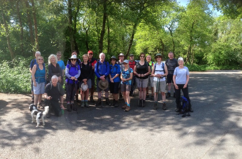 Walk leader: Jackie Whiteley
No on walk 20
Distance: 10.1 miles
On a lovely sunny day, 20 set off on a circular walk over Harrisend Fell from Scorton Picnic Site. Our route took us south to Scorton village past Cleveleymere and Scorton lakes and then up Snowhill Lane to the footpath through Ghyll Wood to Tithe Barn Lane, then across to Higher Lane and the start of Grize Dale. Instead of proceeding up Grize Dale, we cut through Leathercote Wood and the swathes of bluebells to Burns Farm, up past Burns Quarry Wood, Moor House and Moor Farm along a track to a crossroads at the masts where we turned left to reach the Harrisend Fell road at Calder Side. We turned left down the road to the start of our walk over Harrisend Fell at the fell access sign, opposite the car park at Grizedale Bridge.
To cross Harrisend Fell, which is open access land, we climbed a track behind the fell access sign, turning left about 260m towards the cairn at GR538504, picking our way across the moorland. At the cairn we turned east to the fence (shown as the CP Bdy on the map) and followed the fence in a southerly direction to Foxhouses Brook where we picked up the footpath to Lane Head. As we progressed over the fell we had amazing views of the Lancashire Plains and Morecambe Bay. Unfortunately the Lakeland Fells remained shy, covered in cloud.
From Lane Head we returned to the picnic site via Newsham Bridge, Salisbury Farm, Foxhouses to Lea Green and then down the road back to our cars. We very nearly returned with clean boots. Unfortunately we came across a very muddy section next to a stile close to the end of the walk which I fell in whilst testing the best way across, resulting in a very muddy bottom!!!
Jackie Whiteley
To see photos please click 'here'


