


The South Yorkshire Way
PART 1 - Thorne to Doncaster
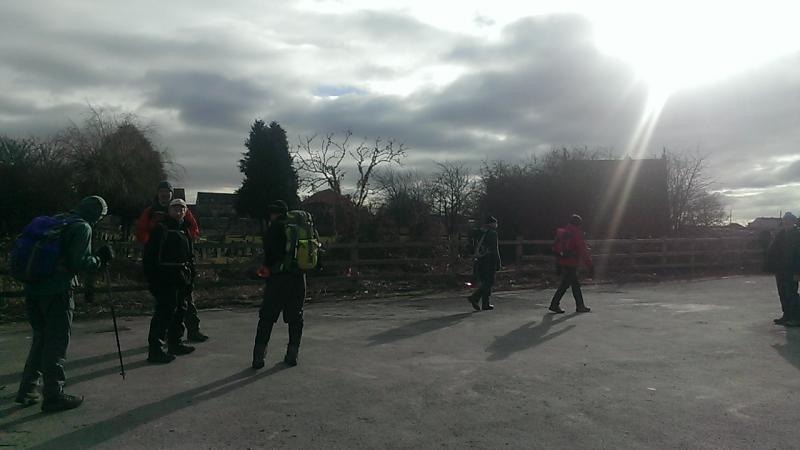
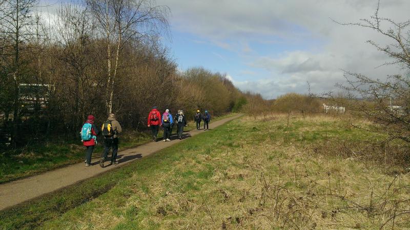
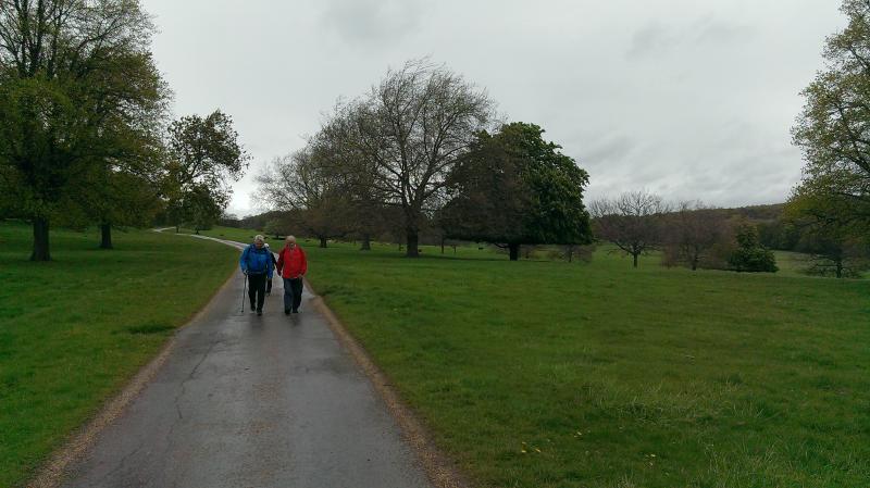
15 Walkers began the first installment of our LDP Wednesday walks; we are walking the first section of The South Yorkshire Way from Thorne (the last town on the eastern edge of the county) to St.Georges (the Doncaster Minster).
We started from the Thorne North railway station the official start of the SY Way, following the Stainforth/Keadby canal from the Thorne lock to Stainforth and the spoil heap of Hatfield Main.
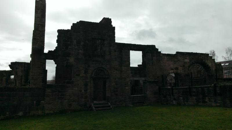
Hatfield Main being one of the last remaining ‘in use’ coal mines left in South Yorkshire, the route from here took us to the Water Park and the grand Norman Church at Hatfield. Elevenses taken we made our way to Barnby Dun along the River Dun navigation (canal) to the very strange looking Kirk of Kirk Sandal.
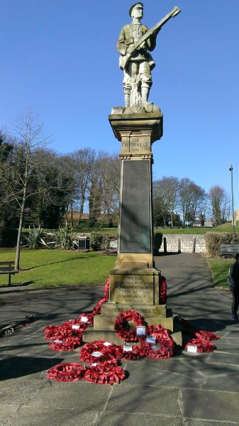
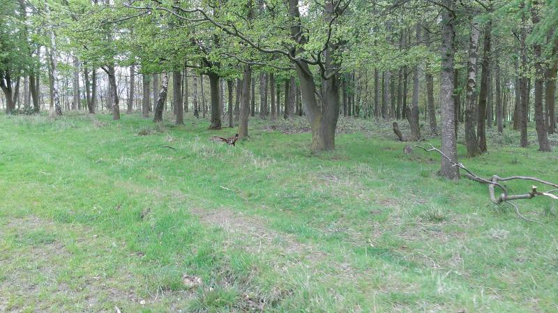
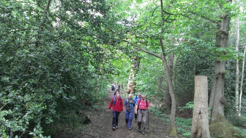
Leaving Kirk Sandal along Brecks Lane we visited The Eden Arms for a half hour lunch before walking through Shaw Wood. From Armthorpe we took Barton Lane and hung a’ right into Sandal Beat Wood where we had our last stop of the day at the visitor’s centre. From the wood we found the racecourse and followed it round to the Bennetthorpe area of Doncaster through Elmfield Park onto Chequer Road, making our way through Doncaster town centre we found the end of this section at The Doncaster Minster.
It was good to see some new folk out today and a few old friends also.
")


PART 2 – Doncaster to Swinton
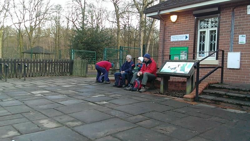
13 Walkers continued our LDP Wednesday walk The South Yorkshire Way on a sunny warm but with a cold wind type of day. We all met up at the appointed hour of 8.30am at the Doncaster Minster to walk to the Swinton interchange.
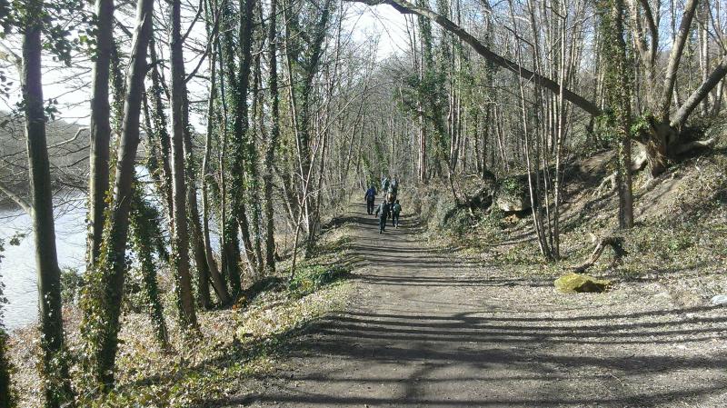
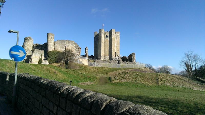
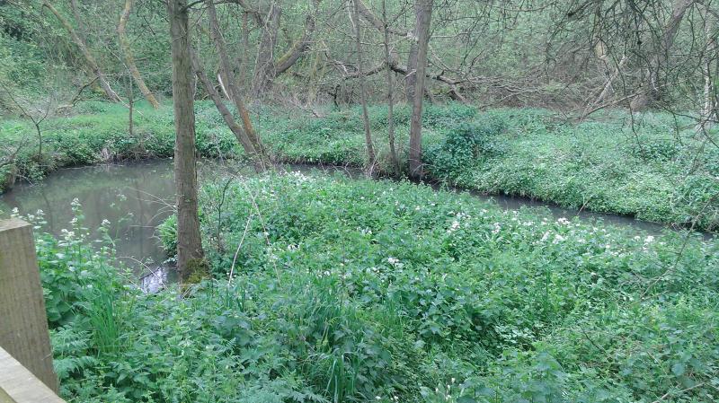
The morning saw us follow the River Don along the Doncastrian Way to Newton where we picked up the Trans Pennine Trail and passed the grand Georgian Hall of Cusworth. Following the path under the A1 we entered Sprotbrough to follow the River again to the Viaduct where we had our elevenses.We continued over the viaduct to turn right through the woods and entered Conisbrough. We found the stocks at the Norman castle for a group photo and we also had a half hour lunch at the Lord Conyers public house.
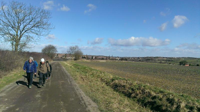
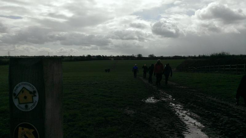
Leaving Conisboro using Park Lane we crossed a number of fields to reach Firsby (we are now in RRR 50 country) to pass the 2 reservoirs. We crossed another field towards Ravensfield church where we finished our sandwiches.Thrybergh lane took us to the reservoir where we followed the west bank to the A630, heading north on Carr lane we turned left onto Kilnhirst Road to cross the Don and onto the Kilnhurst Cut towpath. This took us to the ‘old tar works’ where we made our way through a new housing estate and into Swinton to the interchange.
Another good day was had by all, good to see most from the first section return and our newest member join us.


PART 3 – Swinton to Barnsley
16 people met at the Swinton Interchange to continue our walk on the South Yorkshire Way, with gale force winds and a real humdinger of an April shower forecast we battened down the hatches and followed the path north of Swinton past the Dearne Valley College (the start of the RRR50) and the Manvers roundabout.
Finding the Trans Pennine Trail we diverted through the waterfront golf complex to find the TPT at the other side, we followed this to Darfield and had our elevenses at the Church. Once over the A635 we now follow the Dearne Way all the way to Barnsley.
Passing Edderthorpe, Storrs Wood to follow the River Dearne to the Monk Bretton Priory where we finished our sandwiches.
The final stretch saw us negotiate the paths through Dearne Valley Park into Barnsley Town centre for us to depart our ways.
An interesting short day (16mls). With industry past and present throughout and a little history thrown in.
Good to see a couple of new faces and the return of most thru hikers.


PART 4 - Barnsley to Meadowhall
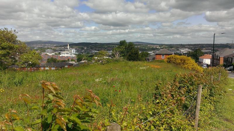
8 people decided to ignore the forecast for today’s section of the South Yorkshire Way and brave not only the elements but the hills and follies to be found south of Barnsley.
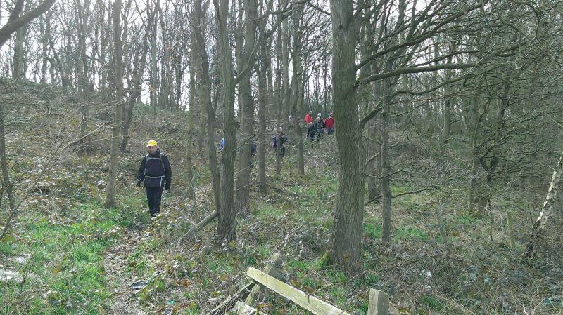
The morning saw us negotiate the route SW out of Barnsley towards the bridge over the M1 motorway to Dodworth and our first view/crossing of a motorway on the entire route; we picked up the Dove Valley Trail and followed a steep climb to the castle at Stainborough. We negotiated the Wentworth Castle estate and found the bridge back over the motorway at Rockley Old Hall.
The section towards Elsecar took us through a very industrial/urban area including; Worsboro, Blacker Hill, Upper Hoyland and Jump Valley.
In Elsecar we had an extended lunch stop (1hr) at The Market Inn where we said goodbye to two in our group.
The six who carried on are all thru hikers and we climbed to our first folly of the day Needles Eye. Then came across a supposed Black Death plague pot*
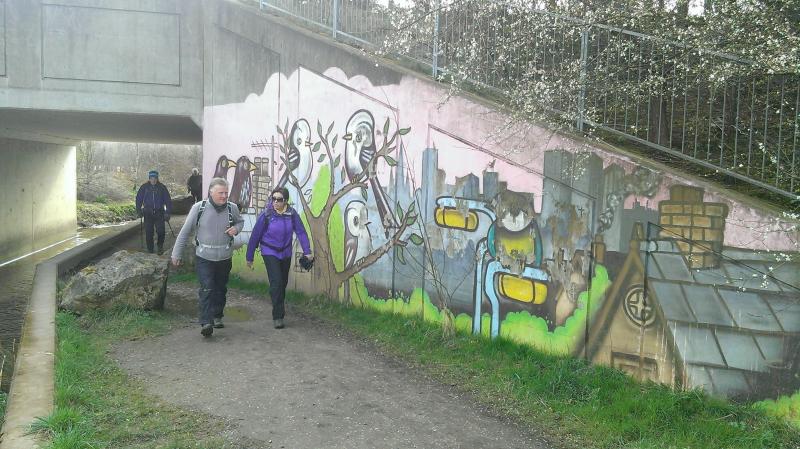
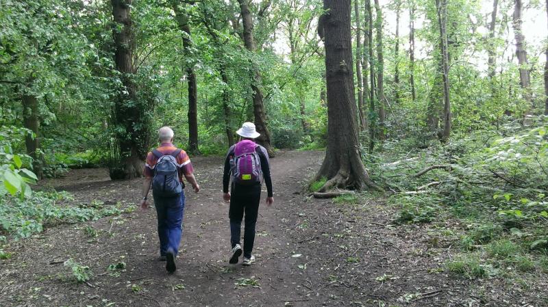
We continued on through the Wentworth Woodhouse estate and joined the Round Rotherham route to climb to Kepples Column. From here we dropped through Kimberworth into the outskirts of Rotherham. The late afternoon sun accompanied us along the Rotherham canal towards this section end at the Meadowhall interchange.
*A Plague Pot is to be found on the outskirts of villages suffering from the Black Death. Goods were exchanged here and any money washed in vinegar within the pot to eradicate any disease.


PART 5 - Meadowhall to Dore
13 Walkers began the last section of our LDP Wednesday walks in 2015.
The last section begins at the Meadowhall interchange and finishes at the official end of the South Yorkshire Way at the Dore rail station (last town on the western edge of the county).
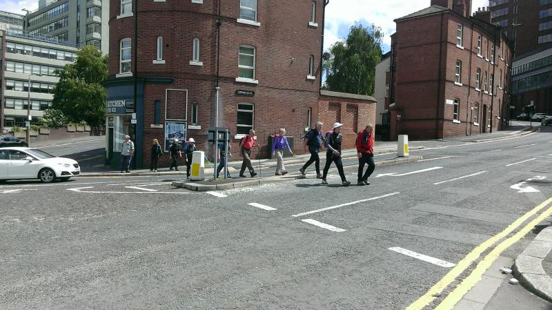
We started from the interchange following the Tinsley locks towards the arena, leaving the canal we made our way through the outskirts of Sheffield (Handsworth, Manor Top (elevenses) and Norfolk Park)) towards the city center and the Cathedral. We took a short detour to the Tap at Sheffield; the rail station public house had a fine selection of ale to choose from. The morning stint did show us Sheffield is a very green city if a little hard under foot!
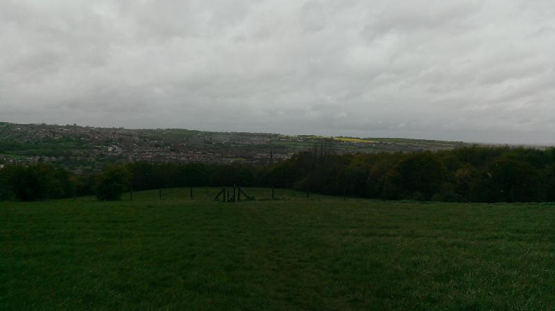
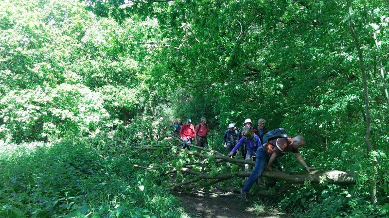
We left Sheffield city center in a westerly direction towards Hunters Bar. Walking through Endcliffe Park and Whitley Woods we found our way towards Bents Green and the Ringinglow Road. We can see into the Peak District quite clearly here until we entered Ecclesall Woods. Crossing The River Sheaf at Beauchief and it’s Abbey we climbed down the path through Nether wood to reach journeys end at Dore Station.


")
")


")
In conclusion:
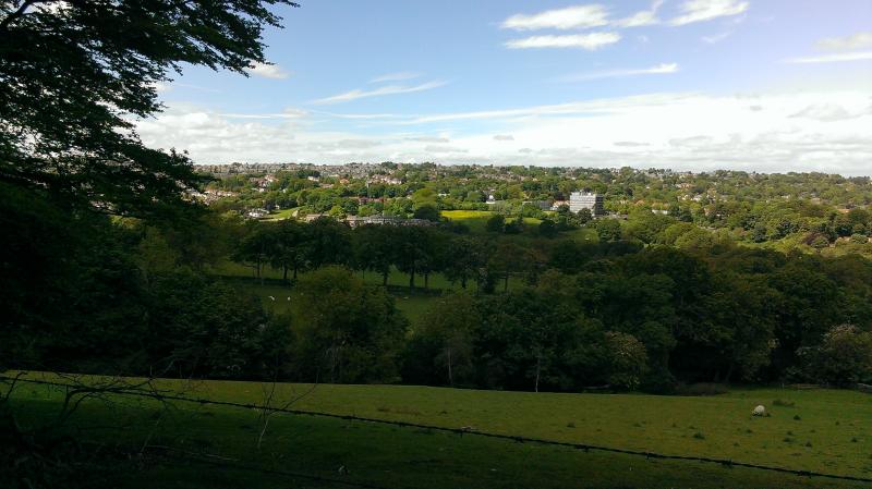
The route shows the counties differing countyside; from the humberhead levels, the Don & Dearne Valleys, the lumpy bits south of Barnsley into the Rother Valley and through Sheffield to the edge of the Peak District. The route avoids the M18 motorway and only crosses the M1 twice, it shows plenty of history in the form of church/yards and does show past and present industry. The county is blessed with a plethera of public transport options and as the route goes through the four borough capitals (Doncaster, Barnsley, Rotherham & Sheffield) section hikes are very possible.
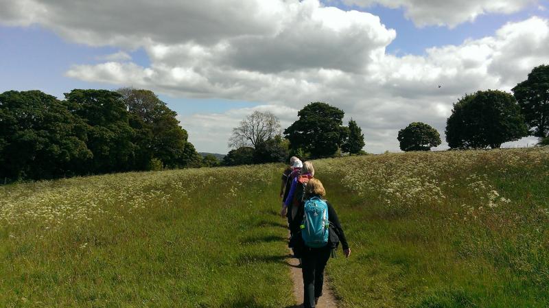
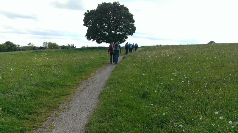
We averaged 15 people for each section and all enjoyed walking this brand new 97 mile LDP in South Yorkshire.


