

2015 04 16 Thurgoland Boundary
Photos from Sue:
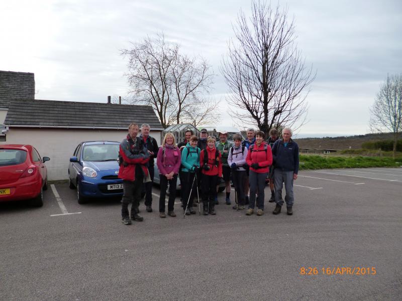
Today was my first time as a walk leader. I felt a little apprehensive initially, however, all my worries were in vain as the 14 dedicated long distance walkers (who turned up to walk the 20 mile route) were very supportive and understanding – even though I did take a wrong turn at one point!
The Thurgoland Boundary is an undulating 9 mile walk that rolls through the picturesque villages of Hood Green, Oxspring, Crane Moor and of course Thurgoland. The terrain is a mixture of fields, woods and riverside paths.
I added a couple of loops to the route that took us through Silkstone, a once thriving mining village back in the 1800s with remnant’s of mining still evident today. We had a photo stop at the village stocks (installed during the reign of Henry IV) and John and Julia posed for the cameras.
We re-joined the Thurgoland Boundary at Silkstone Common and then on to our lunch stop at Oxspring. By this time the clouds had dispersed, sunshine prevailed and jackets and fleecy jumpers were quickly removed. The route meandered along the River Don and past Cheese Bottom Farm (yes really) and under the stone viaduct.
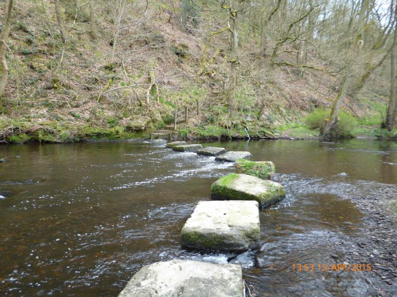
Another short loop took us up a steep ascent to Green Moor. This was the highest point of the walk with far reaching views of the rolling landscape. A sharp descent through the woods took us to the River Don stepping stones and fun was had by all trying to cross them without slipping and getting wet feet!
The way then follows through the village of Thurgoland and up yet another hill (and there are many in Barnsley) and through Crane Moor to finish the boundary walk at The Monkey public house.
We re-traced our tracks through Bagger Wood and crossed the Trans Pennine Trail finishing the walk in the village of Dodworth.
I thoroughly enjoyed leading the walk and would heartily recommend it! A BIG thank you to everyone who came along and for the kind comments at the end of the day.
Sue
Photos from Julie here


