
Navigation Needed (5/02/2017)
South Manchester LDWA walk from the Navigation Inn, Buxworth Basin
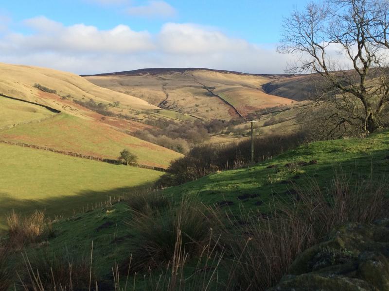
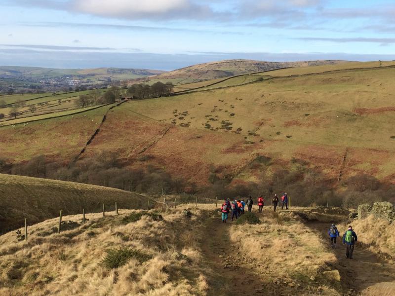
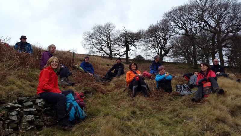
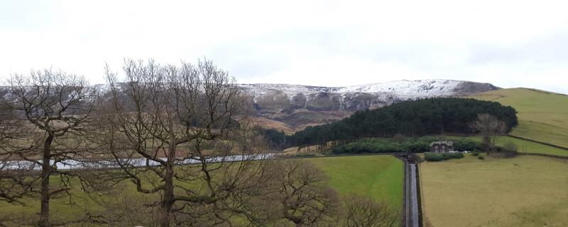
We welcomed Beverley from Staffs Group, Ian Proctor (High Peak), Bev and Andrea (also High Peak?), Duncan from Stoke, Paul Easthope (South Pennines), Judy Brown (non-member), who joined Duncan, Nicoletta, Dave W Peter W, Quentin, Steve O and walk leader Dave Gosling at the Buxworth Basin on a fine sunny morning. It was great to see Quentin and Steve on their first walk after each had an operation on a vital organs or joint last year. We set off down the Peak Forest Tramway (1796) spotting the three black swans at Chinley, then beneath the magnificent Milton Chapel double viaduct (1867 and 1890) to reach the quiet village of Wash. After following the Black Brook, with the alders showing their purple catkins, we climbed to Roych Farm where Quentin distributed Fisherman's Friends before retiring gracefully with Steve (they walked to Chapel-en-le Frith). The group began the steady ascent, passing the entrance to the Cowburn Tunnel (3,702 yards, 1891), to the Roych - now free of motorised vehicles, but well used by mountain bikers. At Roych Clough we had our elevenses before proceeding to South Head and Mount Famine with magnificent views of Kinder. Lunch was above the Kinder Reservoir waterworks. Return was via the Snake Path and over the top of Chinley Churn (via Phoside), reaching the Navigation Inn at 4pm.
15.3 miles and 3,250 feet of ascent.
Thanks to Nicoletta for the photos of the scenery