
Easter in Ulster - Antrim Coast & Glens (25-28/03/16)
South Manchester group returned to Northern Ireland this Easter. This time, we visited the Antrim Coast - including the Giant's Causeway World Heritage site - and the Glens.
Causeway Coast - East
Good Friday morning, and eleven of us met up outside Ballycastle Backpackers' Hostel. John, Jane, Alastair, Christine, Gill & Zara, joined by Andy, Deborah & Philomena (Minna) from London and Phil & Mandy from Gloucestershire, set off to walk the eastern half of the Causeway Coast Way.
The route took us west, initially along the the B15 Clare Road. A short stretch of track led us back the tarmac of Whitepark Road - not much traffic and with views opening out over the sea. After a tea-break at Portaneevey picnic area (somewhat extended as some waited for the tea-wagon to open and boil up the kettle), we continued down towards Ballintoy, reaching the sea at the National Trust's Carrick-a-Rede Visitor Centre. Most of the group opted to follow the NT path to cross the famous Rope Bridge (see photo). Once everyone had returned to the Visitor Centre, we followed a field-edge path to reach Ballintoy (COI) Church, a bright, white edifice which had been beckoning us for some miles. Down the winding lane to the harbour, we stopped for lunch, many of us sampling the local delights of Irish Stew or Champ at the Harbour Café.
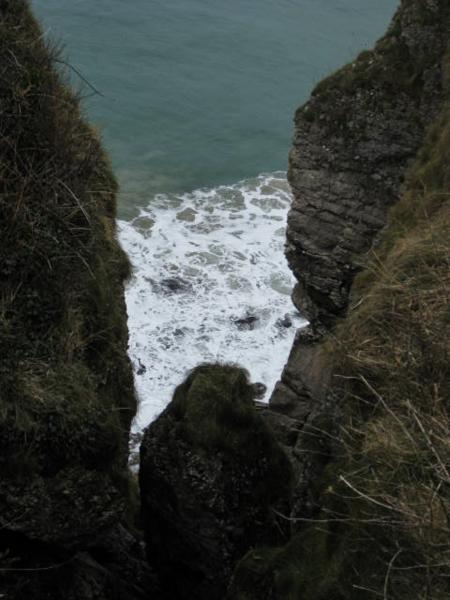
Continuing now along beside the sea, we rounded the rocky headland of Dundriff and took to the beach the length of White Park Bay. At the far end, a rocky scramble brought us out at the hamlet of Portbradden. Here, the published directions indicated a diversion was necessary to avoid a landslide, so we followed the lane up to rejoin the B15 for half a mile, as far as Causeway Road, which led us back to the coastal path at the remains of Dunseverick Castle.
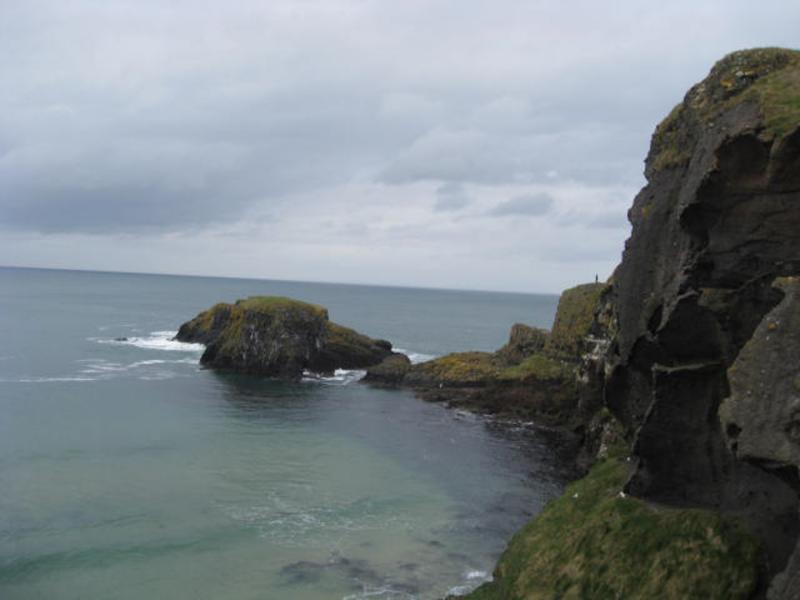
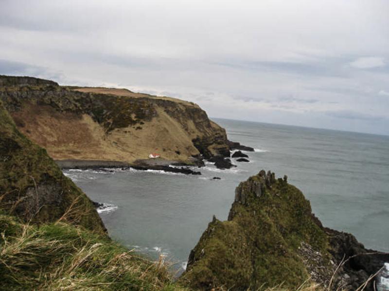
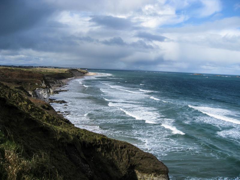
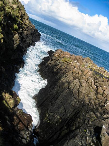
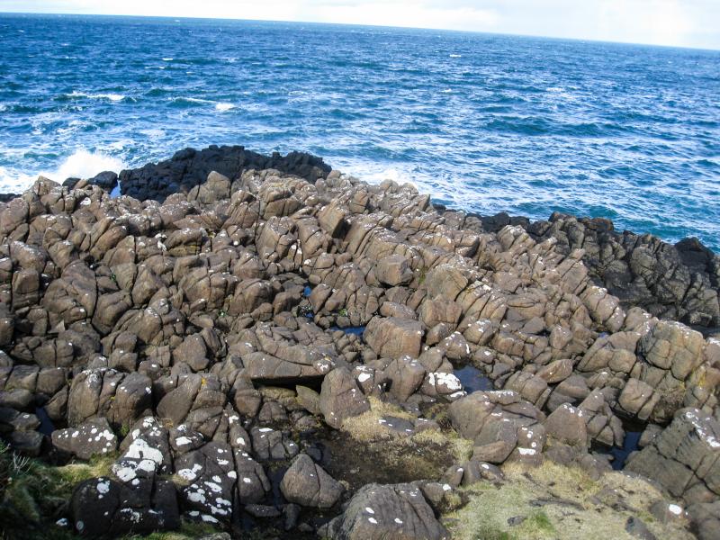
We were soon on the clifftop path of the Giant's Causeway UNESCO World Heritage site, every turn bringing fresh dramatic views, with volcanic basalt columns much in evidence. Finally, we reached the Causeway itself - most of the group took the path down to walk across the iconic rocks, while the stragglers kept to the clifftop. It was then just a short step past the NT Visitor Centre to reach the bus stop, just in time for the number 172 back to Ballycastle.
Fair Head & Ballypatrick Forest
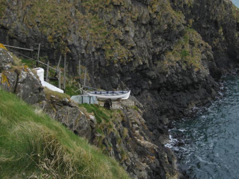
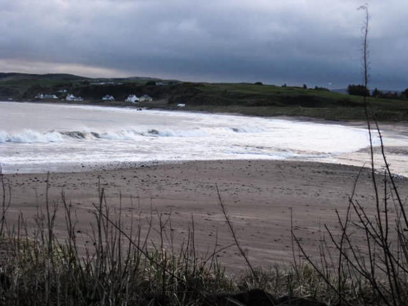
Saturday morning saw ten of us (Jane took a rest day) meet up again outside the hostel. This time we headed east, across the sands of Ballycastle Bay, then the lane as far as Marconi's Cottage. Continuing along a rough path, with the sea to our left and cliffs to our right, we passed the remains of a number of old coal- and ironstone mines, to reach the start of a Land-Rover track at Carrickmore Port. This zigzagged up through a gap in the cliffs to bring us out near Doon Farm, where we took a rest-break.
As we started off again, the farmer drove out to make it clear to us that there was no public right of way. He was clearly concerned after recent experiences of members of the public seperating lambs from their mothers and even driving sheep over the cliff. We gave him our names and explained that we were covered by LDWA third-party insurance and he kindly allowed us to continue on our way.
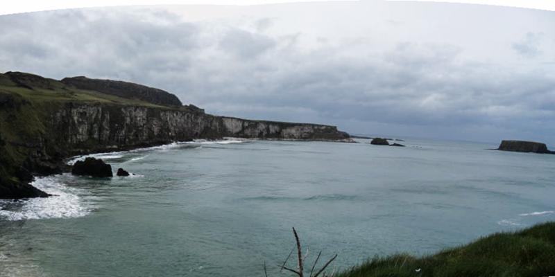
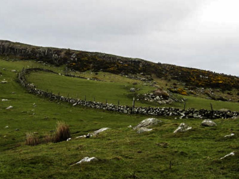
We continued, now along the cliff-top, around the magnificent headland of Fair Head, passing the waters of Lough Doo and crossing onto National Trust land. Reaching the lane, where it climbed up from Murlough Bay, we stopped for lunch. Here. the leader decided not to head for Carnanmore - we had taken a lot longer than anticipated to get this far, the hill was reputed to be boggy and although the weather was fine, it was also vey windy. So, we took to the tarmac following a winding route along quiet lanes, past Doey Plantation, Ess Bridge and up the Ballyvennaght Road, dropping down to pass through Watertop Open Farm, lively with holidaymakers (one or two of our group emerged clutching ice creams). Across the A2 Cushendall Road and we entered Ballypatrick Forest, to follow the forestry tack for a mile or so. Emerging at a small car-park, we took a tea-break.
We now followed the lane - Glenmakeeran Road - back towards Ballycastle. So far, we had beaten the weather forecast, but the rain now caught up with us, for a 15-minute shower - with the wind at our backs, fortunately - it cleared up once we reached the Cushendall Road. After half a mile, we were able to leave the main road, taking once more to the quiet lanes (Ballynagard & Churchfield Roads), which led us to Glenshesk Road, on the outskirts of Ballycastle.
That evening, we were joined by Avril and our Chairman David, who had been touring in Donegal & Sligo.
To be continued...please check back!
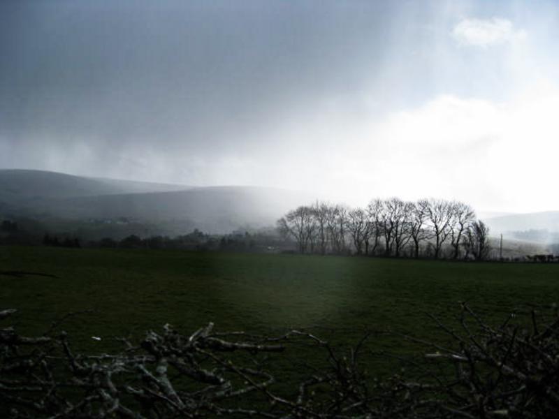
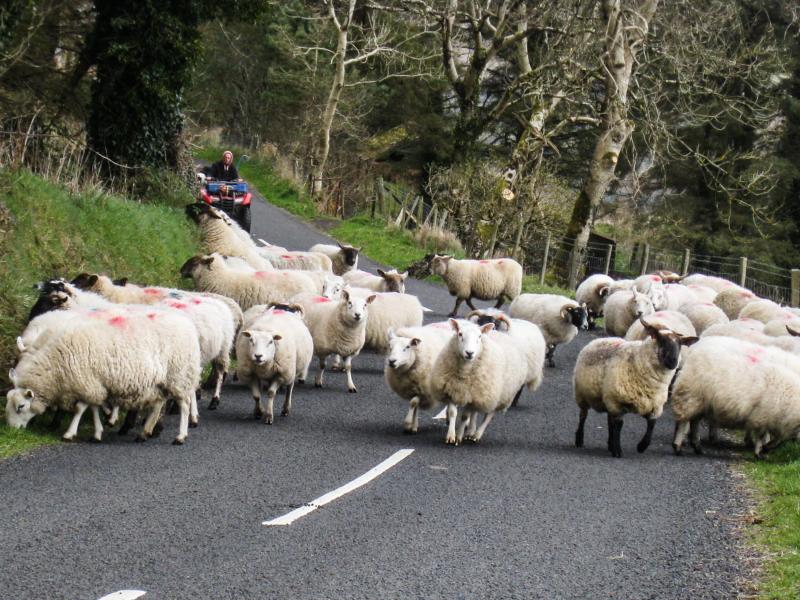
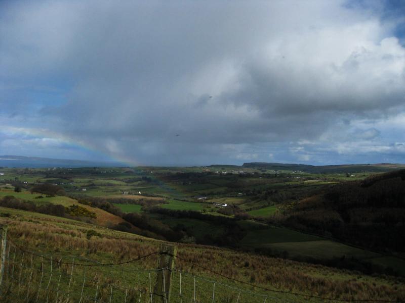
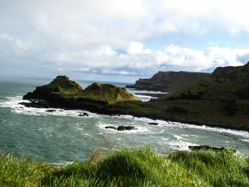
Here are some of Minna's photos: