
Who put those forts there? (18/07/2015)
This was a prehistoric themed walk, starting and finishing at Helsby and linking up some of the Iron Age hill forts that feature in the landscape of this part of Cheshire. Quentin had intended it to commemorate his 70th birthday; unfortunately as things turned out, he was unable to lead on the day, but John stepped into the breach. Six other members of South Manchester & Staffordshire groups joined him.
After taking a rather circuitous route up Helsby Hill, we passed through the ramparts of our first hillfort of the day just below the summit. Heading east by the Longster Trail, then south along the Sandstone Trail, we passed Jacobean Austerson Old Hall, relocated under Alvanley Cliff since the 1980s. We reached Manley Common just in time for tea/coffee & scones at Stone House Farm B&B & teashop; the cost was covered by a £10 note the Chairman happened to find on the way!
We now followed the Eddisbury Way south to Kelsall; after taking a series of paths through the village, we climbed up to Castle Hill and the promontory fort of Kelsborrow Castle.
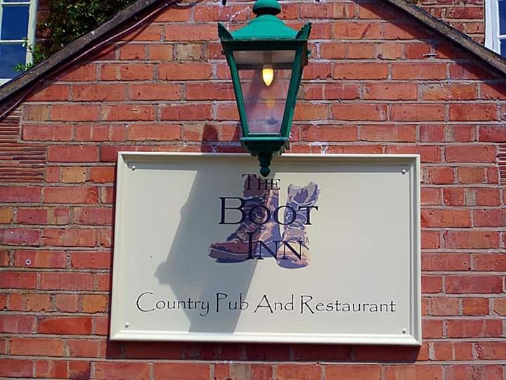
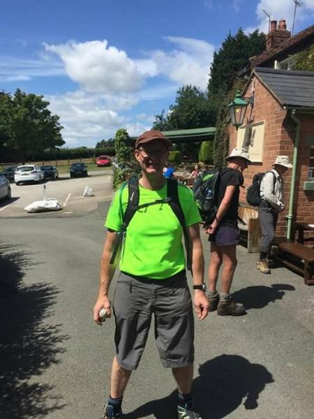
Quentin did make a welcome appearance - with birthday cake on offer - at the aptly-named Boot Inn (Boothsdale), where the group stopped for a halfway break.
Climbing up the lane past Roughlow Farm to the now sadly closed Summertrees café, we again followed the Sandstone Trail - now heading northwards - into Delamere Forest. The trees provided some welcome shelter from the hot summer sunshine. After crossing the old course of the Roman road from Chester to Northwich (just north of the present-day A54), we turned off to climb to the summit of Pale Heights, the highest point of the northern section of the Mid-Cheshire Ridge at 176 metres. If there was ever a settlement here, the construction of a reservoir and telecom masts have obliterated any traces, but half a mile to the east, we reached our third fort, on the summit of Eddisbury Hill.
Descending north, we passed near the Delamere Forest Visitor Centre to join the Delamere Way beside Blakemere Moss. Following this trail west and north, we eventually emerged from the trees at Crossley Park, north of the New Pale. Leaving the Delamere Way at Organ Lot. we followed a narrow wooded valley west to reach the Woodland Trust's Snidley Moor. Initially following the Sandstone Trail north, we then headed northwest up the hillside, to stand on the clifftop path below the rocky outcrop defending Woodhouse Hill fort. Lingering a few minutes to enjoy the late aftenoon views across the Mersey estuary, we then took the North Cheshire Way - steeply descending at first - to return to Helsby.
Distance: 22 miles according to GPS (or 20 as measured by John's piece of string and Explorer Map 267).
Thanks to David, Kev & Louise for the photos.