Summer - we hope
Wedneday July 3rd. Walton Hall Wander. 14.8 miles.
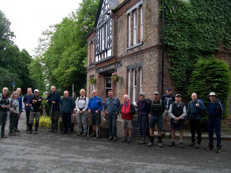
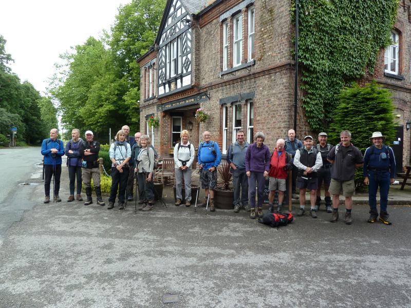
Leader: Richard Nelson. 19 walkers.
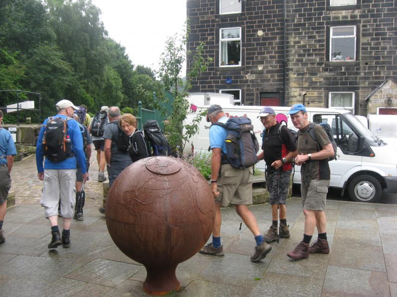
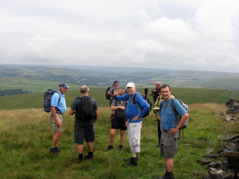
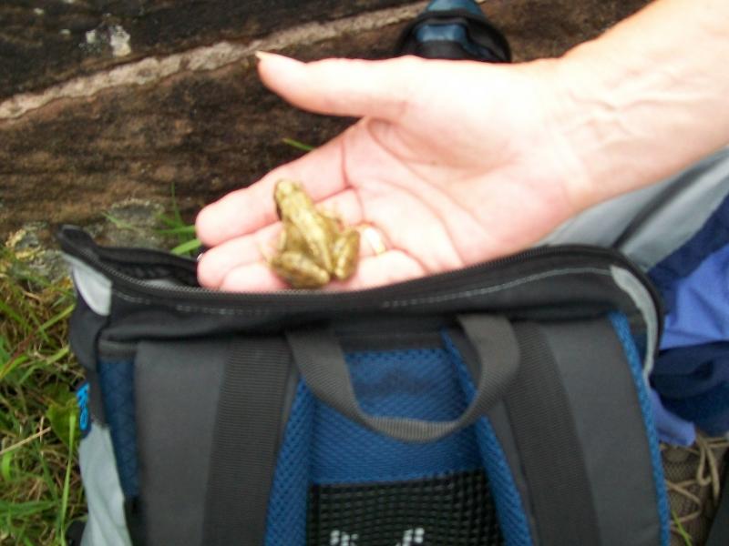
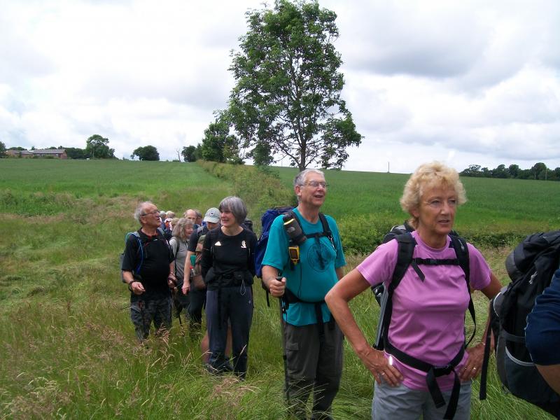
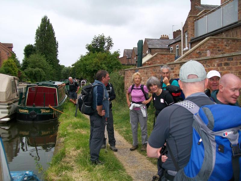
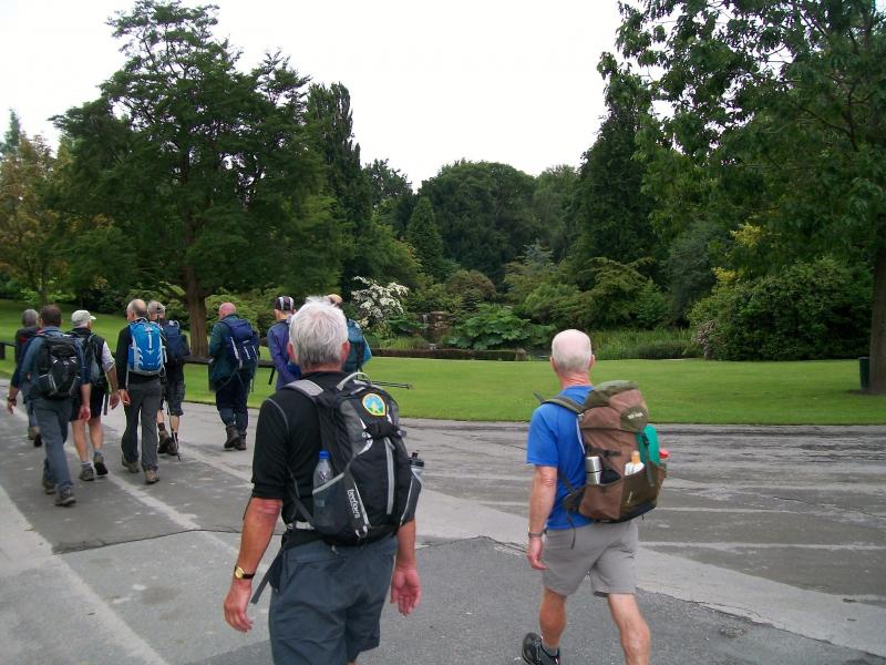
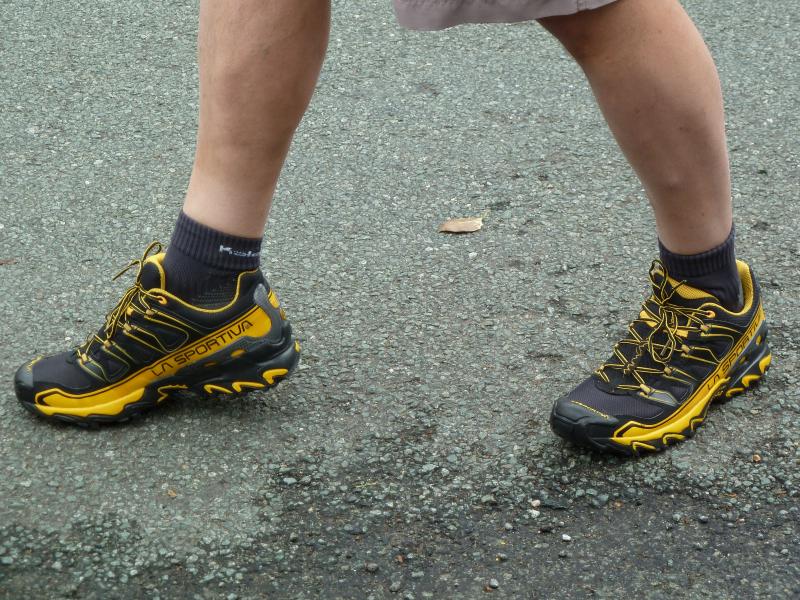
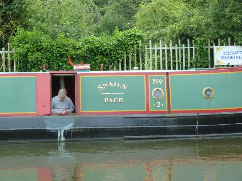
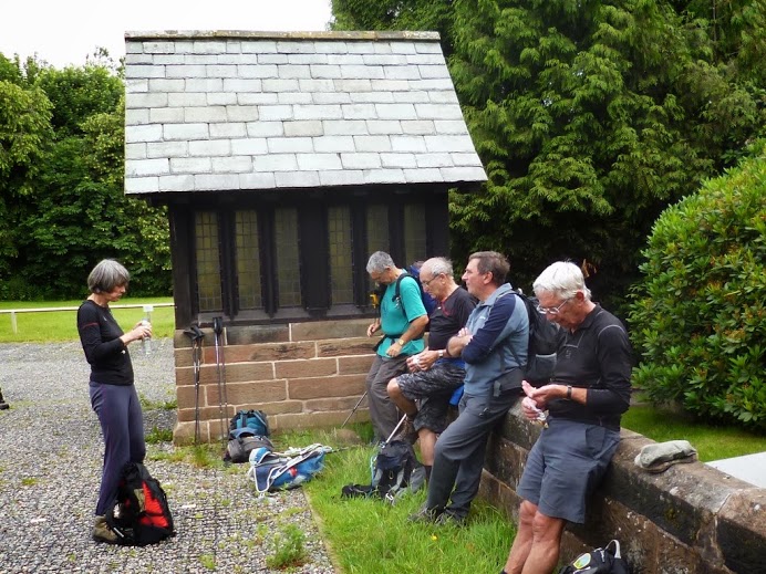
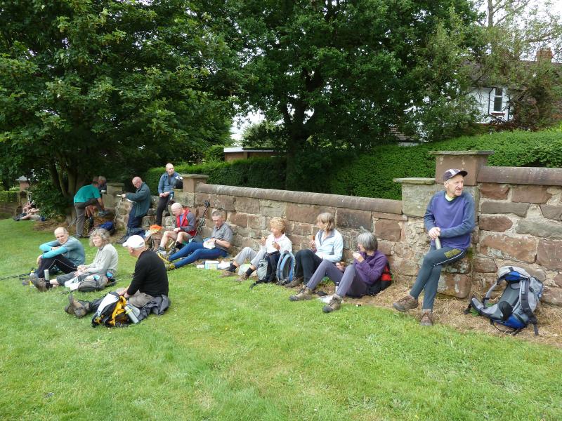
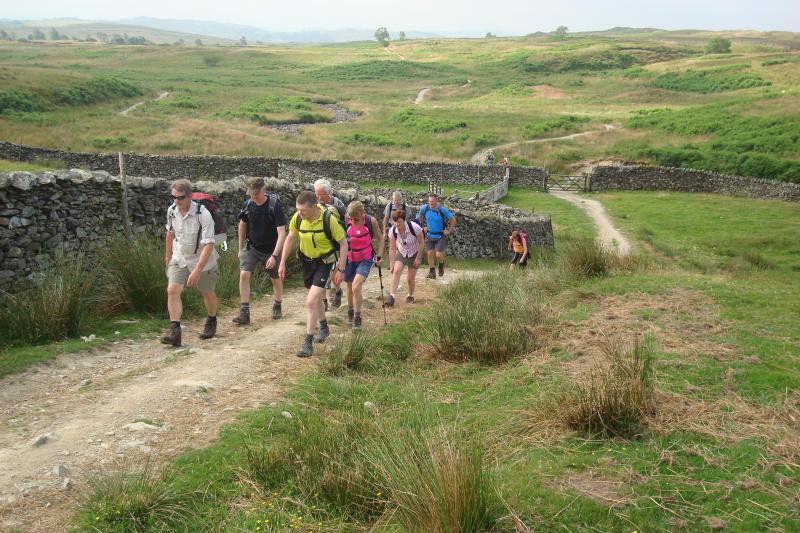
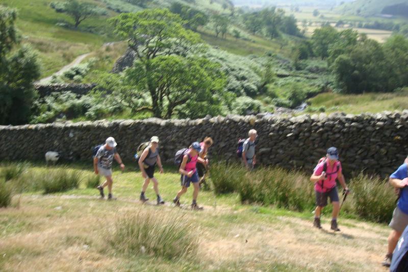
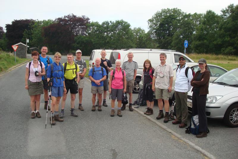
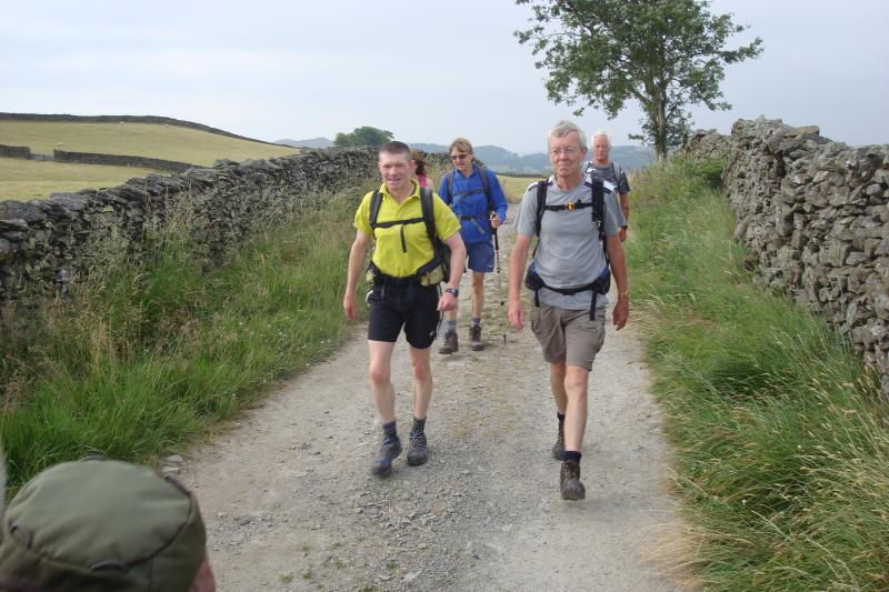
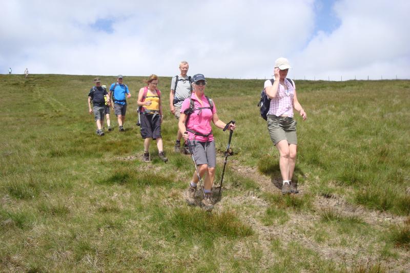
A group of nineteen assembled at the Walton Arms near Walton Hall, Warrington on a mild but overcast morning. These included a member of the Cornwall and Devon Group who was visiting relatives in the area. The main talking point as participants arrived was the pair of lurid yellow La Sportiva trail shoes that JJ was wearing. No one was in any doubt as to why he got them at a bargain price.
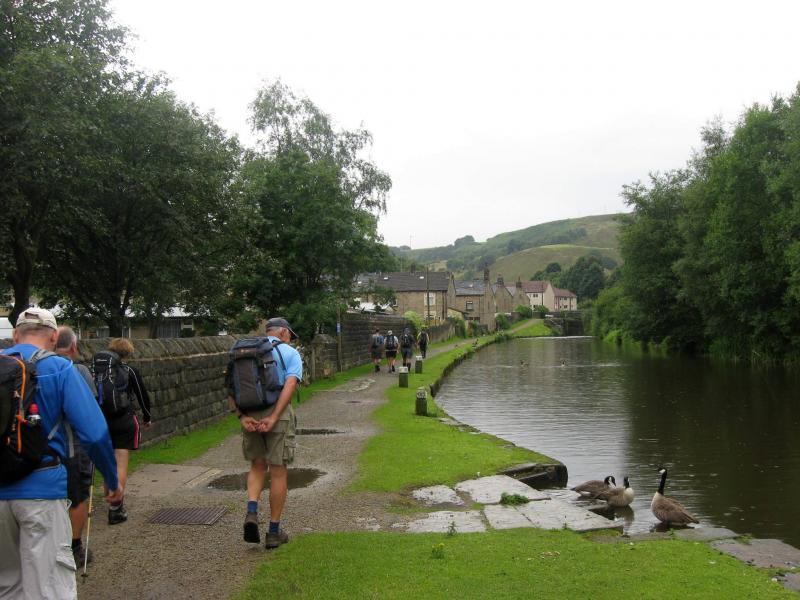
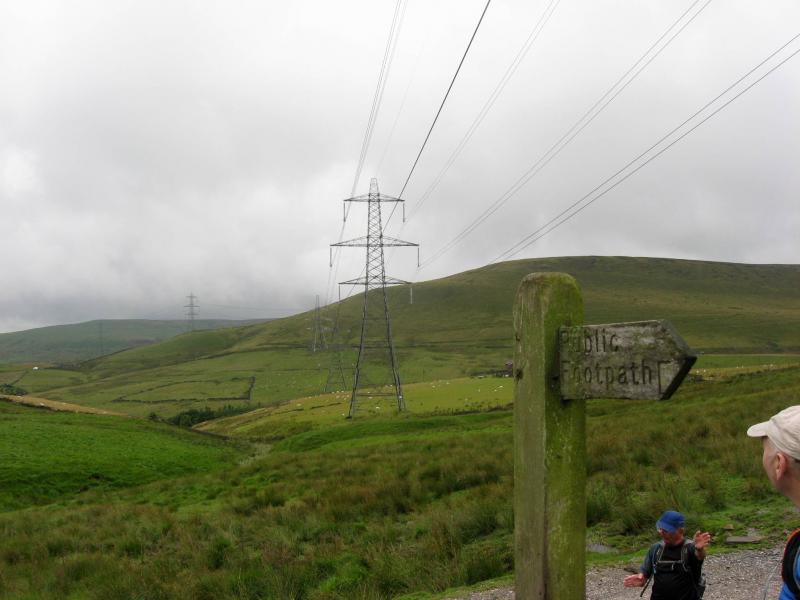
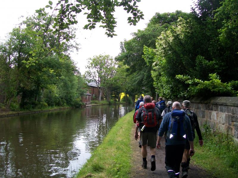
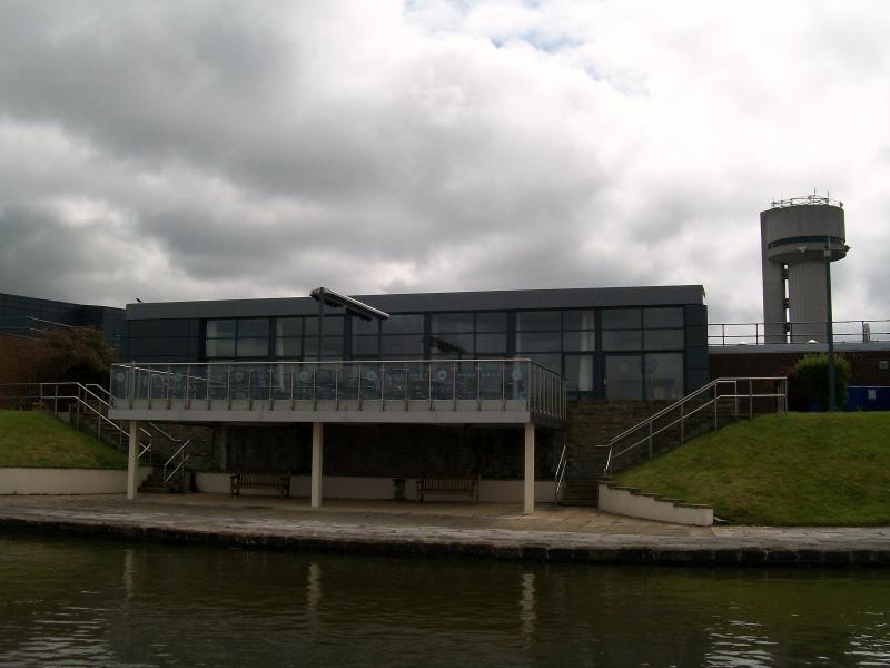
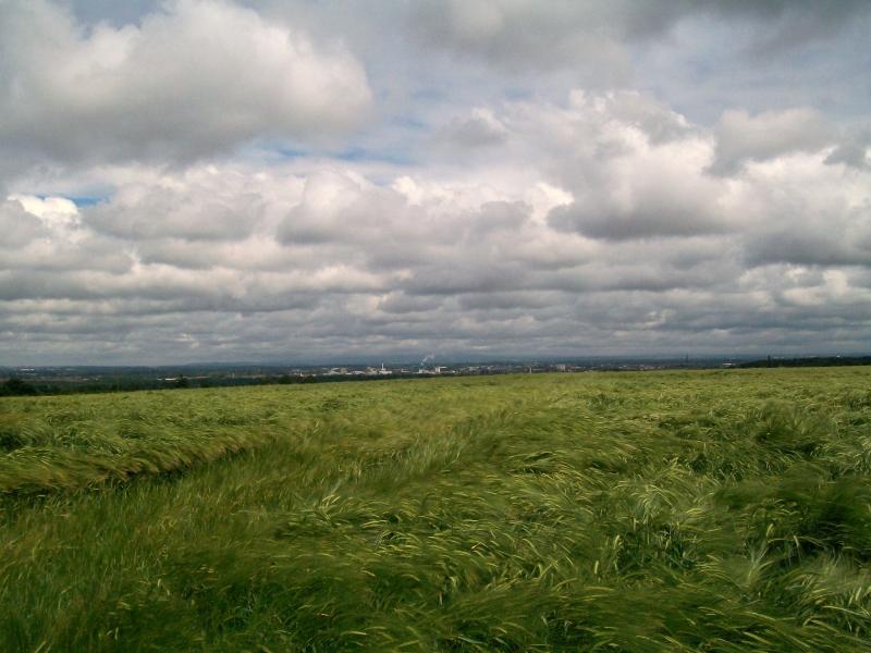
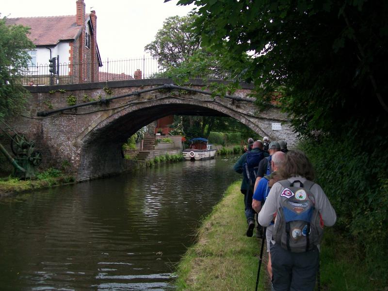
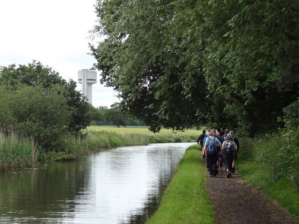
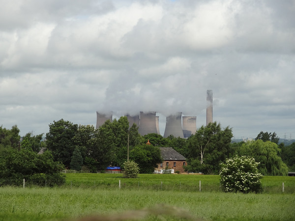
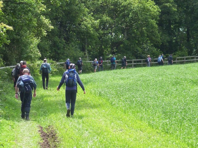
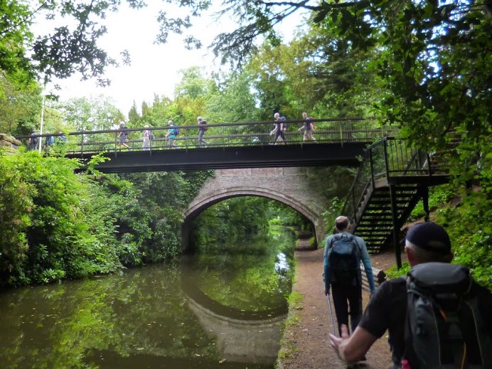
We headed in a SW direction along the Bridgewater Canal on The Bridgewater Way, better known as the towpath. We skirted the village of Moore before views of Fiddlers Ferry power station, Runcorn bridge and the water tower at Norton which is a stage in the transportation of Welsh water to Liverpool. We passed the very impressive facilities at Daresbury Laboratories, recently ‘rebranded’ as Sci-Tech Daresbury, where companies can get access to state of the art scientific facilities, and turned off the canal at Keckwick Bridge.
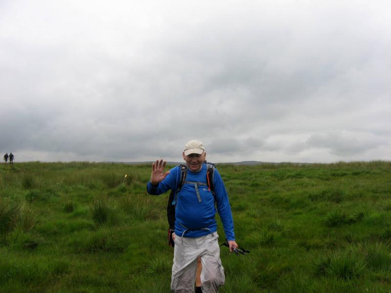
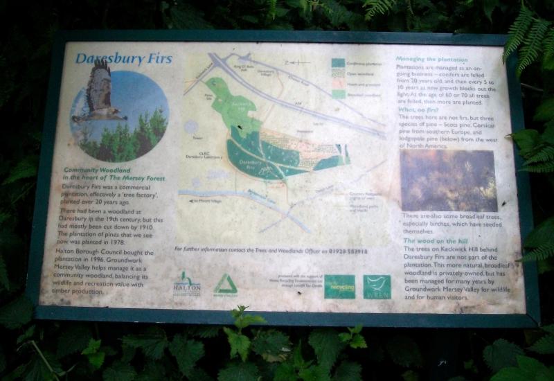
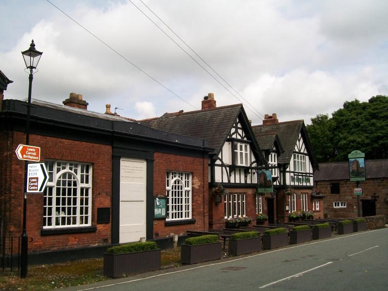
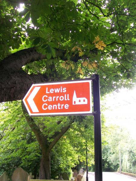
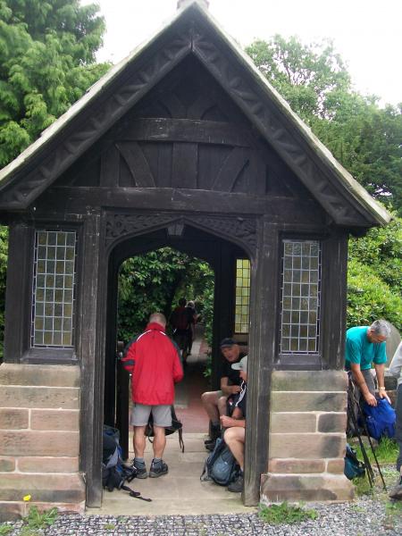
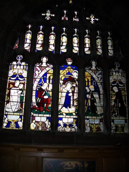
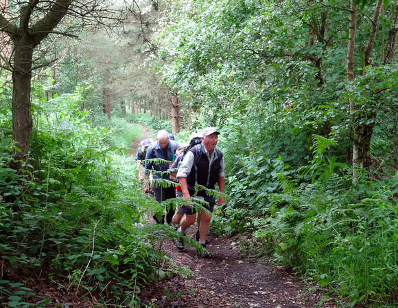
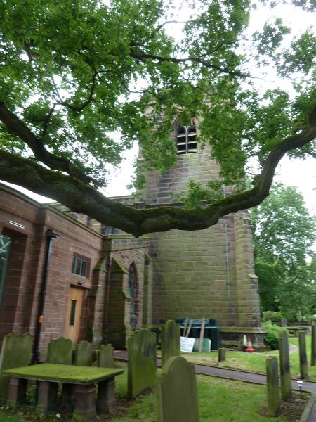
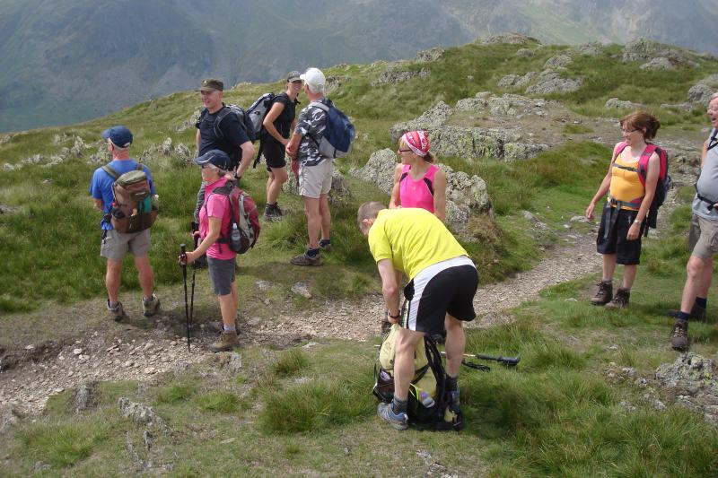
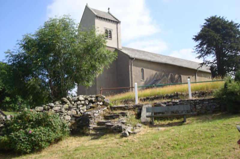
Just to prove to Norman and one or two other flat earth theorists in the group that there are hills in Cheshire, we climbed for a quarter of a mile up the 1 in 7 incline of Keckwick Hill through the plantation of Daresbury Firs, following the route of the Mersey Valley Timberland Trail long distance path. Some of the group were ready for their first refreshment stop when they reached the top but the leader kept them gasping from their exertion until they reached the village of Daresbury and All Saints Church. Here many took the opportunity to see the ‘Lewis Carroll’ stained glass window in the church where the father of Charles Dodgson, alias Lewis Carroll, had served as the vicar.
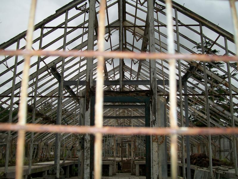
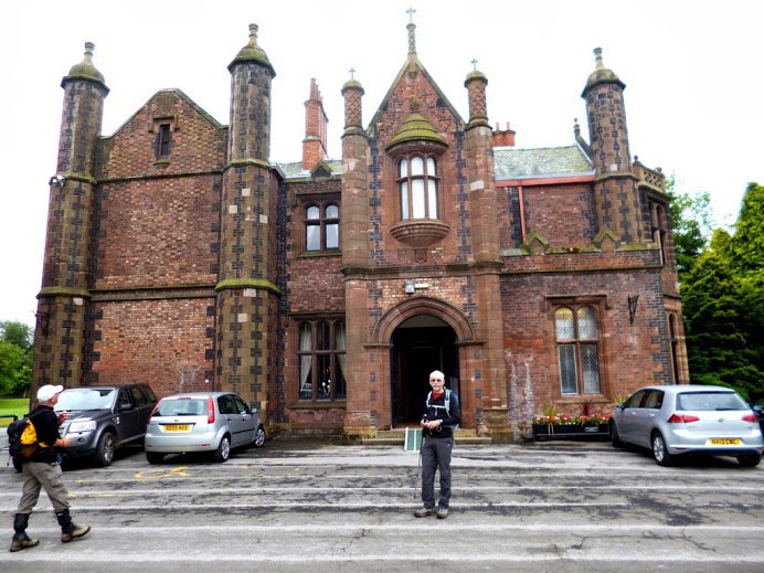
From the church and pretty village we proceeded up another hill and took a footpath opposite Daresbury Hall. Until the mid nineties this was used by the charity SCOPE as a home for the disabled but now, sadly, it is falling into decay. Hall Lane led us onto fields which are the site of the annual Creamfields dance music festival, rained off in 2012. LDWA members should note that tickets for the 2013 August Bank Holiday event are nearly sold out and that they should book soon if they don’t want to miss The Prodigy’s only UK gig this year.
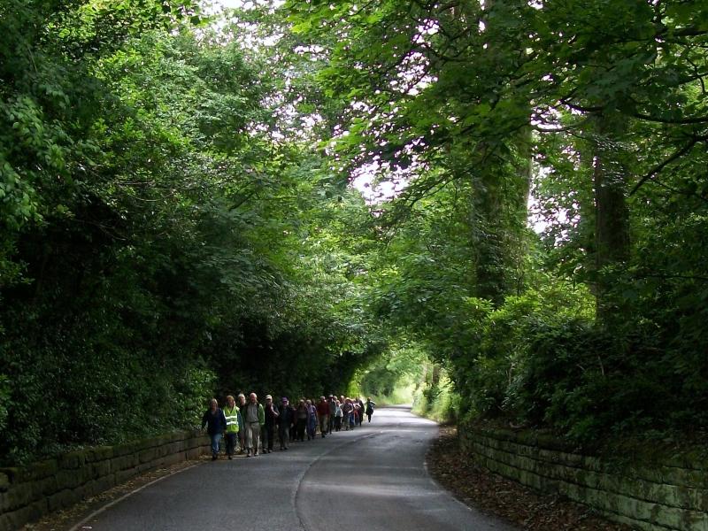
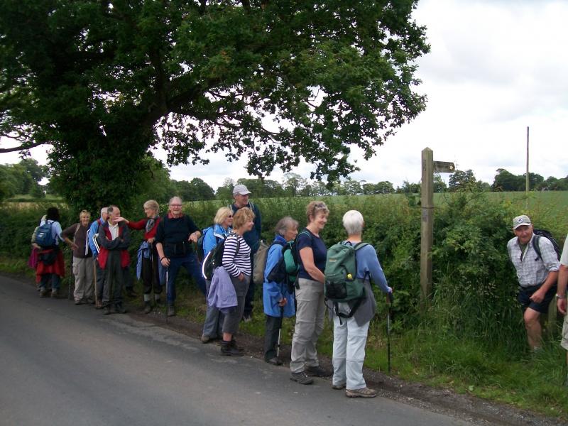
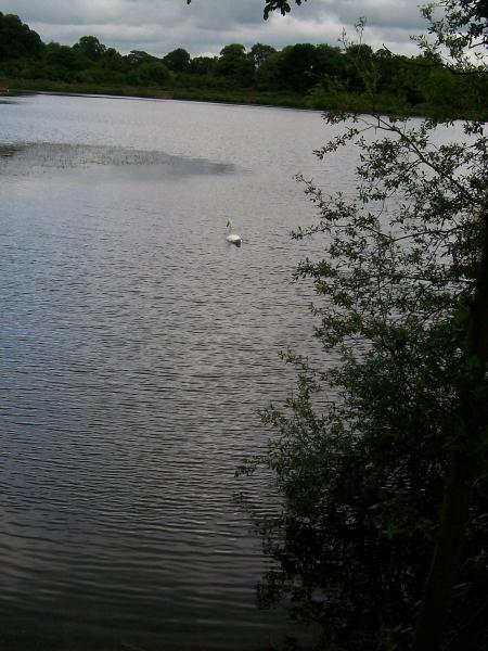
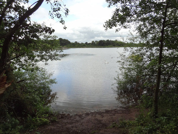
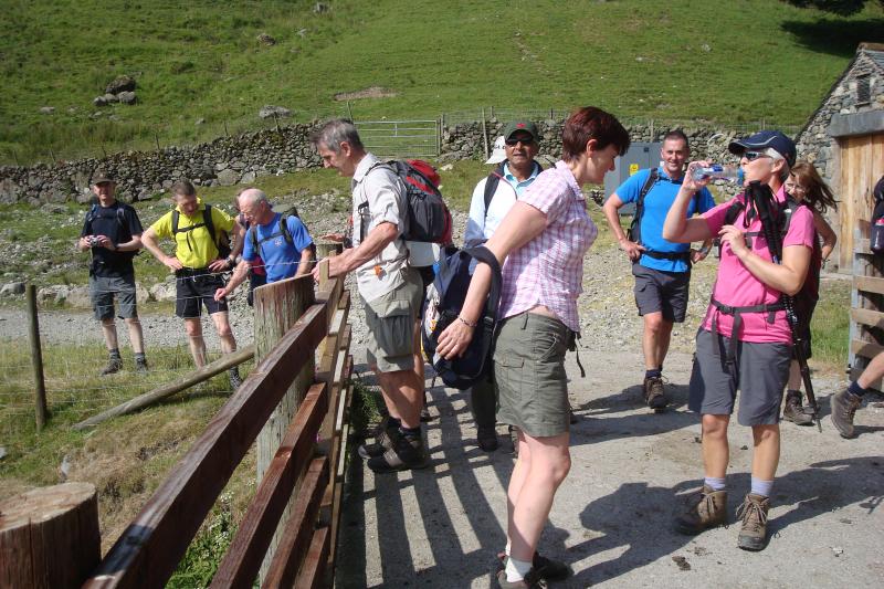
The path took us through woodland and across fields to Warrington Lane where we met our second walking group of the day, this one from Altrincham. As they queued at the kissing gate to let the serious walkers through, one of them commented ‘Are you the group that’s walking 14 miles – you’ll never get back to Walton Hall by 4 pm.’ From the lane we headed across a permissive path to the tranquil (at least it was before we got there) Appleton Reservoir.
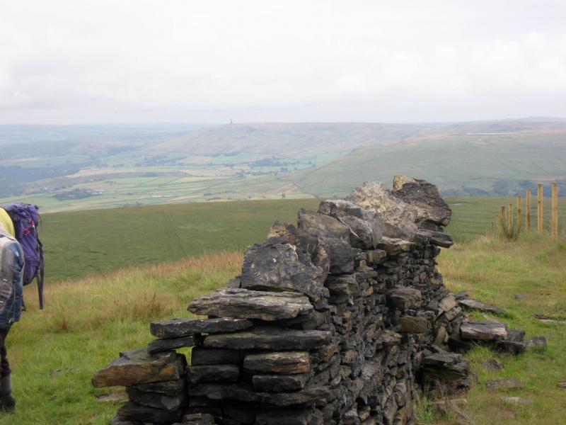
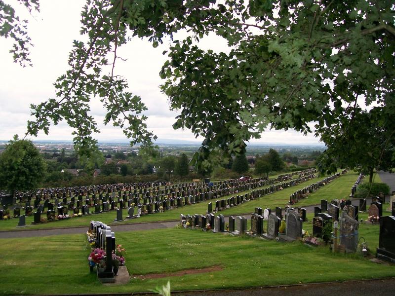
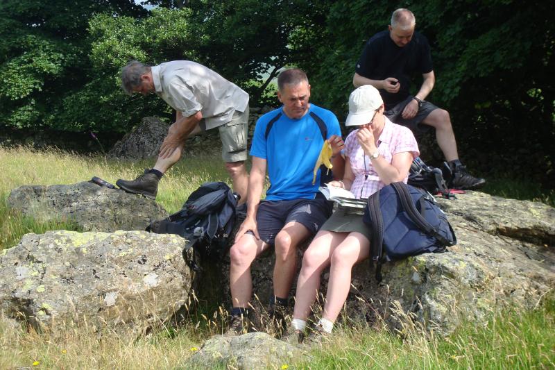
After skirting Walton Hall golf course we stopped for lunch at Fox Covert Cemetery with great views over the town of Warrington, the former Greenall’s Brewery at Wilderspool and Winter Hill some 20 miles away. Points were awarded by Norman at this juncture because he could see the hills of Lancashire. Lunch was supplemented by generous slabs of JJ’s tea loaf.
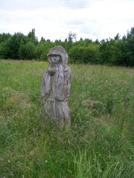
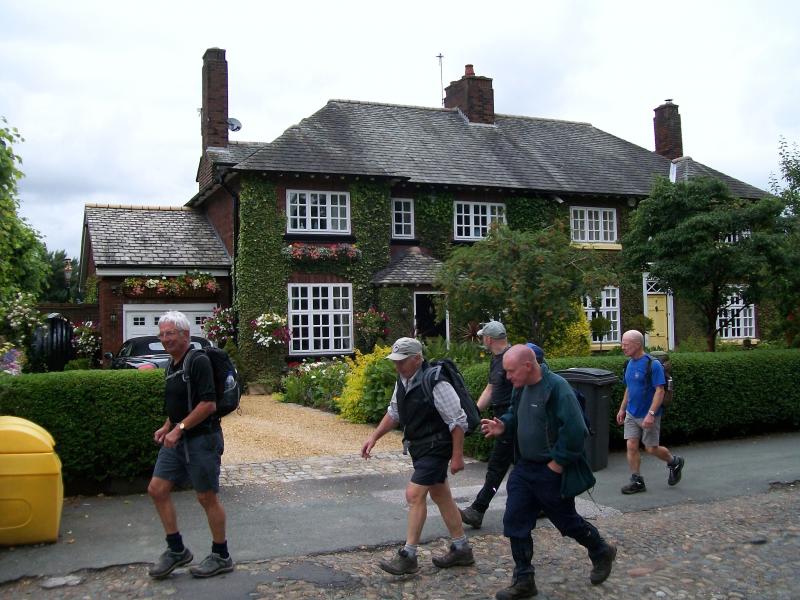
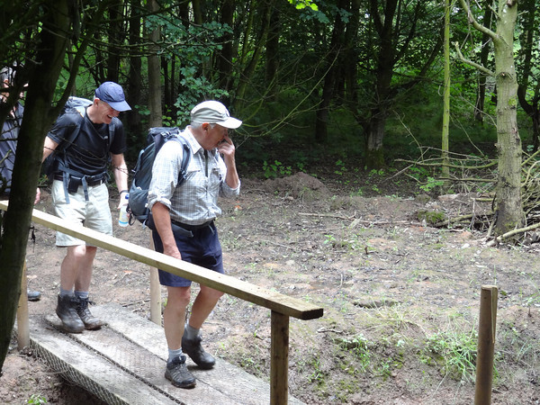
Crossing the A49 we passed through the posh houses of Appleton and joined the Lumb Brook Valley through an area known as Appleton Dingle. Now fortified by the tea loaf, we picked up the pace as we continued on the Mersey Valley Timberland Trail through Grappenhall Heys to Broad Lane and across Grappenhall Wood, passing the wooden sculpture of the ‘Wizard of the Woods’ as we entered.
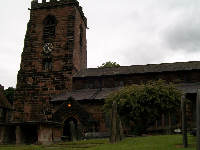
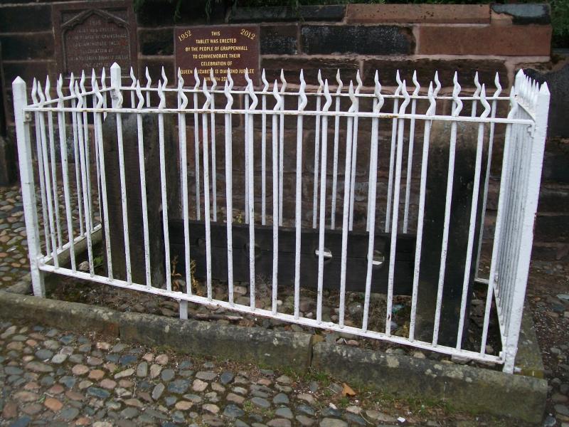
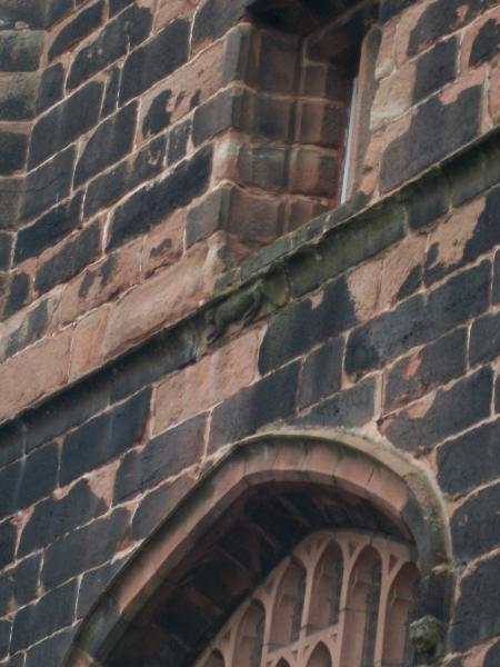
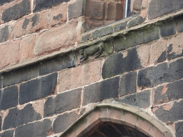
As we were in Cheshire we took a break for afternoon tea opposite the church in picturesque Grappenhall village. This church also has a possible Lewis Carroll link as there is a cat carved in stone on the West face of the tower, said by some to be the inspiration for the Cheshire Cat in ‘Alice in Wonderland’.
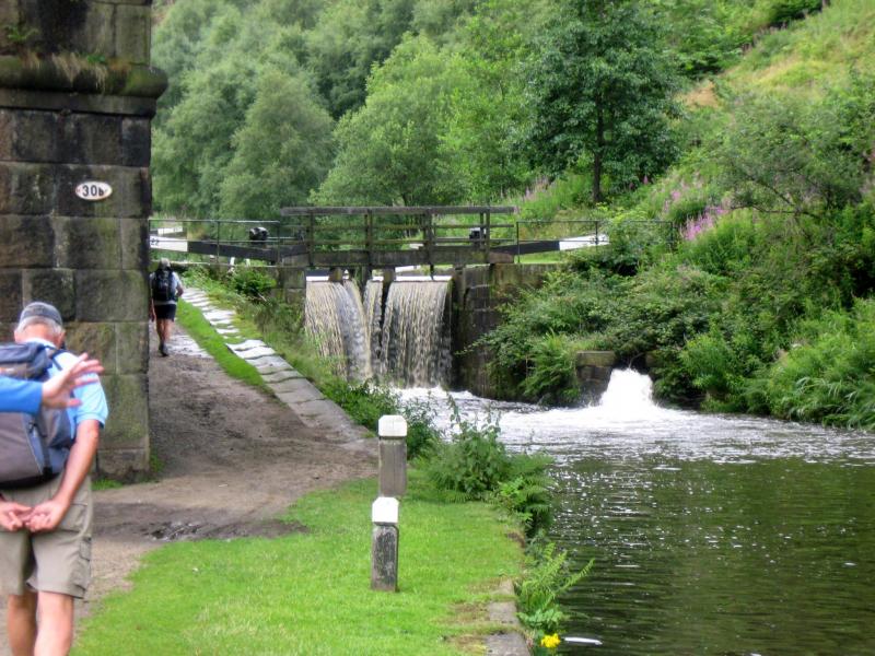
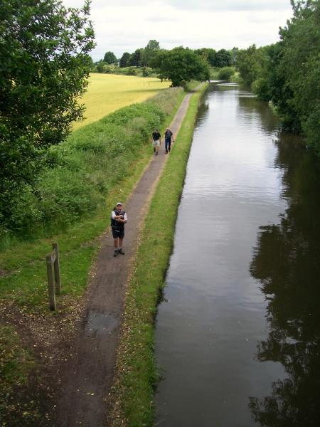
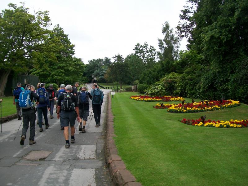
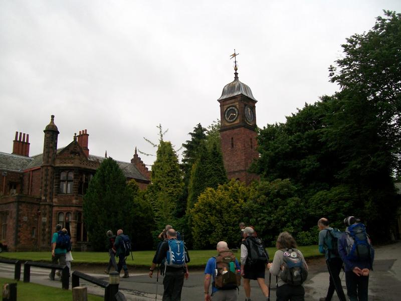
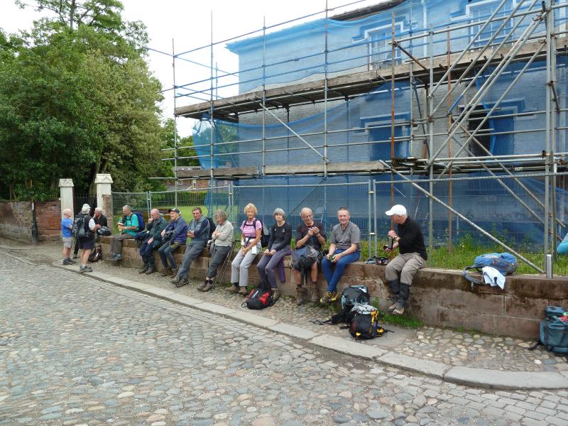
Passing through the village we rejoined the Bridgewater canal and followed the path back through the edge of Stockton Heath. Extra points were awarded to the leader for taking Norman on a nostalgia walk through the grounds of Walton Hall, once the home of the Greenall family of unpalatable beer repute. Norman had fond memories of visiting the park many times in his youth and claimed it hadn’t changed a bit. The same could not be said for Norman.
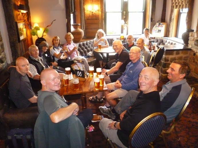
On completion of the final few hundred metres of canal path the walk came to an end and many of the party repaired to the Walton Arms where a fine pint of ‘Old Golden Hen’ or other tipple of choice was imbibed, accompanied by the jolly banter of hearty walking folk. All agreed that it had been an enjoyable outing and many who had expected a walk in the Warrington area to be more urban in nature expressed surprise at how rural it was. Under the strong influence of an overdose of nostalgia and good beer, Norman awarded an unprecedented ten points.
Thanks to John Jocys, Viv Pike and Steven Blackshaw for help with the route planning and John Jocys and Alan Rayner for photographs.
Richard.
Thank you to Howard for the pictures above.
Geoff.


Thanks to Geoff for the pictures
Wednesday July 17th. East Lancs East Lancs Walk - so good they named it twice.
14 miles from Slaidburn visiting Whitendale and Croasdale. Leader: Bernard Hedley. 20 walkers.
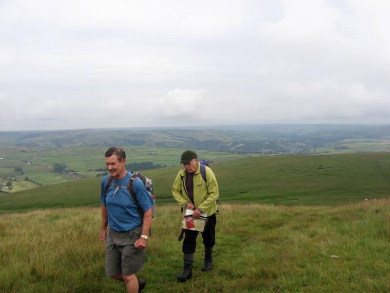
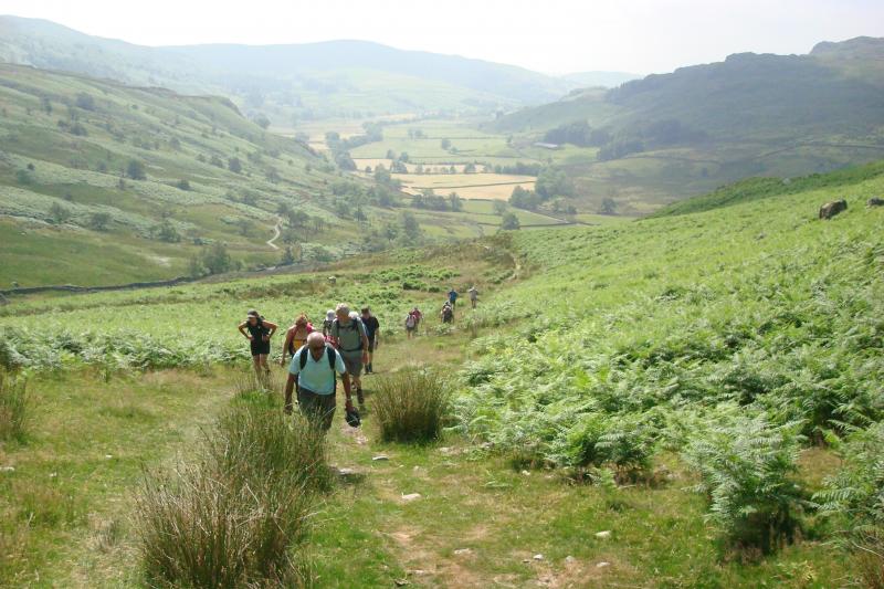
A party of twenty assembled on the car park in Slaidburn on a beautiful summer day.
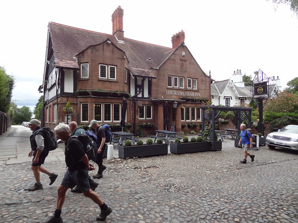
We left Slaidburn by the road, passing a very impressive and well maintained war memorial, and also passing the Hark to Bounty inn, which we had earmarked as our post-walk watering hole. This inn is interestingly named for a local squire’s favourite hunting dog, named Bounty, which the squire could hear making a fine noise outside when he was engaged inside – “Hark to Bounty” he said and a unique pub name was born.
We left the road at Burnside cottage heading up on to Dunsop Fell, with the ascent giving fine views of Stocks reservoir which gradually unfolded. In the distance at our backs the mass of Pendle Hill dominated the skyline.
A gentle incline over two miles took us over Dunsop Brook and onto Dunsop Head where we took a well deserved drinks break with fine views of the surrounding countryside. On less clement days the ground here can be wet but today was generally fine underfoot – although a number of the party felt we managed to find the few boggy patches still there!
Passing through the wall at Dunsop Head we crossed Dunsop Fell heading towards the lush valley of Whitendale. The route here has been well waymarked although the obvious signs are not to everybodys taste in the bleak moorland scenery.
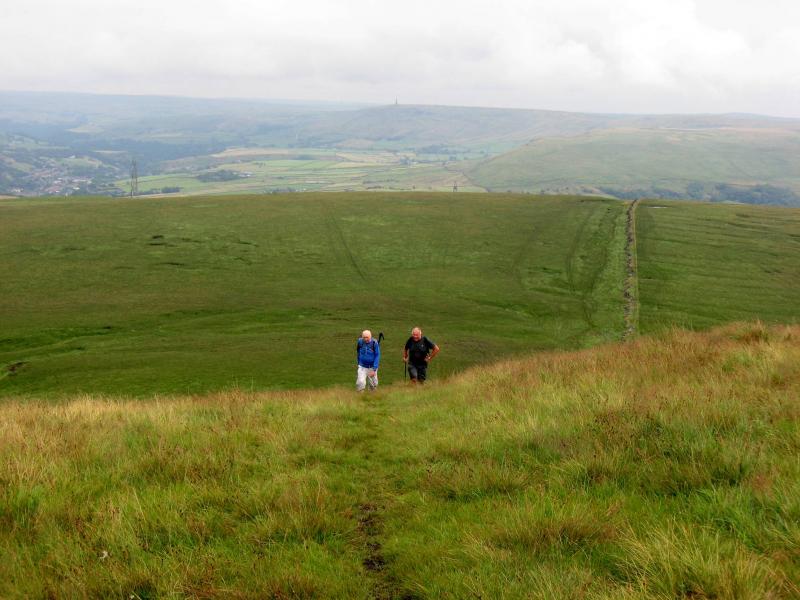
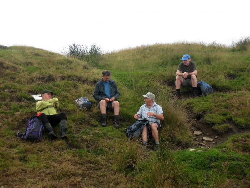
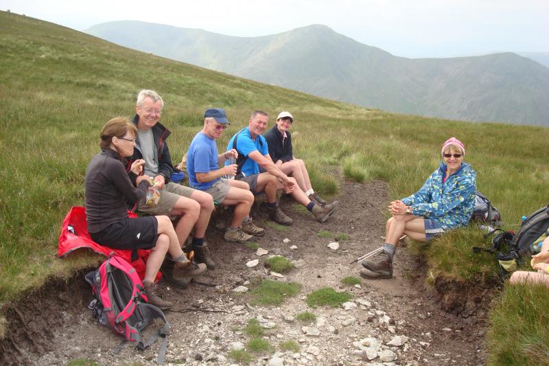
Having passed through the very well maintained Whitendale Farm we headed up to Salters Fell by a track running alongside Whitendale River which gurgles its way through this lovely valley. We stopped for a very pleasant lunch on the hillside with a rocky outcrop providing us with nature’s tables and chairs. The track eventually rises to the Hornby Road which crosses Salters Fell on its long established trail from Hornby in the Lune Valley to Clitheroe. The road is also known as the Salters Trail as it was mainly used to transport salt to Clitheroe and surrounding areas.
We followed the trail for a couple of miles – it was rather like the yellow brick road going over the hills and far away – and keeping Croasdale Brook down to our left till we reached Shay House Farm where we left the trail and crossed into lush pastures.
At the farm we took an afternoon drinks break and admired the “agricultural museum” which has been established at the farm.
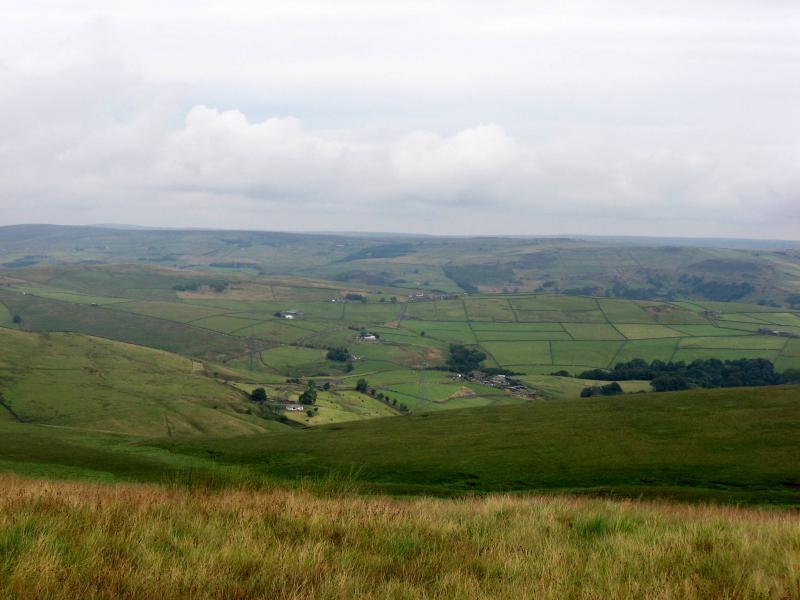
The return to Slaidburn was over the fields in the afternoon sun and views were afforded of the fells on which we had walked in the earlier part of the day – a very satisfying sight.
We arrived back at Slaidburn where a debrief took place at the Hark to Bounty, and pretty well everyone agreed that the walk was indeed “amongst the finest in Lancashire” as a number of walking enthusiasts have previously noted.
We covered some 14 miles which everyone agreed was far enough on “the hottest day of the year”. A gentle breeze at the top of the moor and the sun deciding to hide its face for an hour in the afternoon helped.
Thanks to Hilary for acting as official photographer for the day and thanks to Jim for back marking so efficiently – he counted them out and he counted them home.
Bernard.


Pictures by Don and Hilary
NEW Mini videos by Geoff, click on the links below.
The_Witches_of_Eastwick_sorry_East_Lancs.MP4
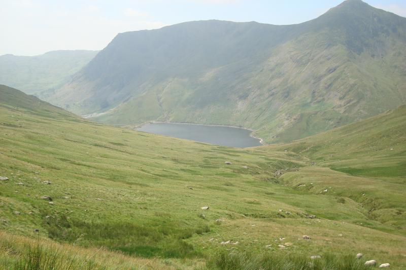
Sunday July 21st. Scaling the Pike. 19 miles from Ings.
Leaders: Dave and Alma Walsh. 14 walkers.
Thanks to Geoff for the videos below.
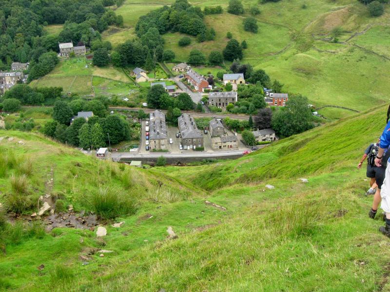
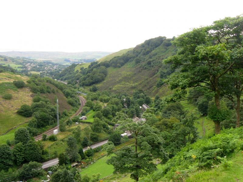
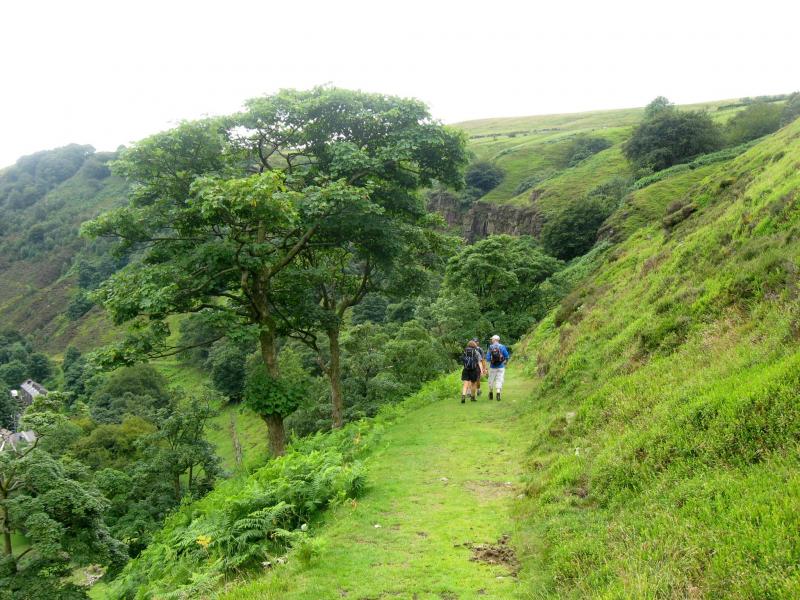
Wednesday July 31st. JC's Todmorden Treat. 14 miles.
Leader: Commander John Clements. 11 walkers.
Torrential rain, a cloudburst in fact, the day before saw a big question mark thrown over whether this walk would actually go ahead. John checked with Tourist Information and was told all should be well. However the flood story, particularly in neighbouring Walsden, made the national news and we saw plenty of evidence on the walk of just how devastating the rain had been for many residents.
“This is one of the best Wednesday walks we have done for a long time,” said Norman and all on it would back up those sentiments. It was a toughie but so interesting and enjoyable. From the centre of Toddie, John took us up to Gawkley Reservoir along Trough Edge and across the Bacup Road , on past Sow Hall, over the Burnley road and taking in the quite unique old Hartleyroyd Farmhouse before crossing Bridestones Moor and descending into Todmorden. Unfortunately no one had a GPS on the day so we didn’t get an accurate reading of ascent and descent. All we can say is there was lots and lots of both! Aching limbs attested to that.
John was docked points by Norman for every hill but somehow they were all regained in the pub afterwards! Isn’t it amazing what can happen in a Weatherspoons! Chip shop owner Shelley Price, who led the Meltham Way walk, was with us and gave as good as she got from Norman in ribbing about other chip shops!
Well done and thank you John – what a fabulous debut walk with the East Lancs !
Thanks to Mark for the pictures.