Peddars Way and Norfolk Coast Path - October 2012


AT THE START

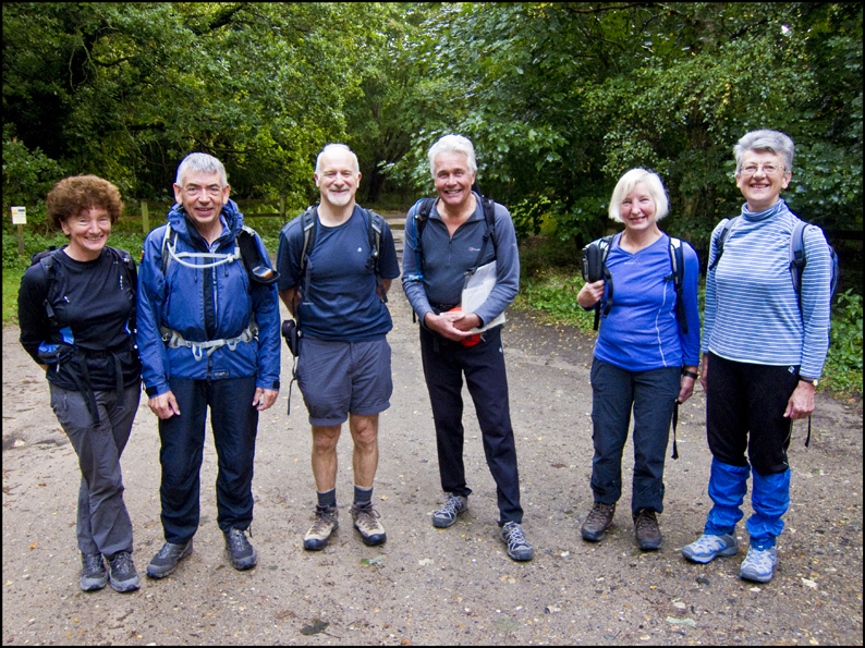
A small but select group of six of us had planned for some time to attempt this National Trail which is in complete contrast to the fells and mountains we normally frequent. The Peddars Way is an arrow straight historic route from the Norfolk–Suffolk border passing through the flinty heathland of the Brecks on its way to the North Norfolk coastal path which starts at Holme-next-the-Sea. The two paths are of equal length and offer a great diversity of scenery and walking giving a total of just under 100 miles which we aimed to complete in four days of 20+ miles each day. Eminently achievable we hoped given the easiness and flatness of the terrain.


Logistics were a problem given the lack of suitable accommodation en route so a two centre plan was adopted. The Wensum Lodge hotel at Fakenham was our main base, and a very comfortable one at that, so foregathering there after the 250 mile drive we consolidated transport and headed further south to the Angel at Larling where we spent the first night. This was adjacent to the start at Knettishall Heath to which we were transported by the efficient and friendly hotel staff after being more than adequately wined and dined and enjoying a restful night. Early mist and rain quickly cleared as we set off on the first day’s march - a 27 mile journey to Castle Acre.


This section was probably the least stimulating day but gave pleasant rapid progress along good tracks. The route followed an old Roman road through pine forest plantations and flinty fields alongside a military training area until we stopped briefly at Thompson Water – an attractive artificial lake and Nature Reserve. More rural walking followed as we anticipated a pub stop at Little Cressingham though were sadly disappointed by its absence. A short lunch stop on a blackberry strewn bank gave us strength to continue as we bypassed both South and North Pickenham and travelled east of the attractive town of Swaffham.  

A windfarm near North Pickenham is on the site of a 2nd World War air base which was the home of an American bomber squadron. Sadly it was only operational for three months in 1944 as in only 64 missions 50 aircraft and 540 airmen were lost! Eventually Castle Acre was reached with its impressive Priory and Castle ruins. Some visited the Castle while others enjoyed a pint in the Ostrich as we waited for our lift back to Fakenham.


The next day was to be slightly shorter at 24 miles and continued along the delightful country lanes northwest to the sea. The sun shone giving perfect walking conditions and the more undulating countryside gave better views and a more interesting perspective on the landscape. An early highlight was the discovery of a trig point marking the dizzy heights of 92 metres! We also learnt of the existence of marl pits used to improve the soil and spotted a number of Bronze Age tumuli.


After 15 miles of dead straight walking a zig zag confused two of the party who arrived at Ringstead slightly behind the group to find them enjoying local cider at the Gin Trap Inn and admiring the Norfolk carstone used as local building material. The next major objective was, of course, the sea and glimpses of The Wash were soon on offer. Arriving at Holme, where the Trail was opened by the Prince of Wales in 1986, we took the diversion to Hunstanton where our pick-up was booked.


Instead of the marked route along the dunes we took a stunning walk along the beach enjoying glorious late afternoon sunshine as the remarkable cliffs of Hunstanton grew ever closer. These form striped layers of white chalk, red limestone and carstone and were a fitting finale to the day as we enjoyed first an ice cream then a beer at the appropriately name Golden Lion Hotel while watching the sun falling into the sea.


Day 3 was the shortest at a mere 21 miles and was again enjoyed in Indian summer mode. Starting at Holme we again eschewed the main route and walked the beach via Gore Point before turning inland through the Nature Reserve where more than 320 bird species have been recorded. After the inland lake of Broad Water a sea defence bank lead past mud flats into and out of the old harbour of Thornham followed by a short inland section through quiet fields and tracks to Brancaster.


Then followed a long section through marsh land, feeling quite remote from the sea, on the way to Burnham Overy Staithe where crab sandwiches were eagerly purchased from a handy stall. Many of the coastal villages are still popular sailing centres with numerous attractive boats of all shapes and sizes moored along the route. This is ‘big sky’ country and some exhumed binoculars from packs changing easily into twitcher mode. A short step then lead past Gun Hill dune and at the top of a short rise, as if by magic, a sudden vista of golden sand, blue sea and white breakers appeared.


This was Holkham Bay where half the party ignored the calendar and braved the sea for a shortish period! Three to four miles of barefoot walking on the sands was then possible in preference to the inland route before arriving at the bustling village of Wells-next-the-Sea. The Albatross pub was our taxi rendezvous which turned out to be a converted boat on the quayside and those who had developed a taste for the local cider continued to feed their addiction before being whisked back to base via the swanky village of Burnham Market(aka Chelsea-on-Sea).


How rapidly the final day had arrived and though fine and settled there was not the sunshine that had previously been on offer. A trifling 25 miles lay between us and completion and commenced with another effortless passage alongside the salt marshes of Stiffkey and Morston. More twitching was available as the sky was filled with many skanes of geese. Greylag, Brent and Canada were identified as well as several other species. We also came across a friendly ‘Mussel’ man sorting and washing his crop and listened with interest as he explained the pitfalls of mussel farming. Young ‘seed’ mussels are collected from breeding grounds out to sea and left to grow in ‘lays’ in the creeks. There is apparently a fine balance between leaving them an extra year or so to grow bigger and the perils of weather and shifting mud flats etc endangering the crop.


After a coffee at Morston the route took us on to Blakeney where we admired the 14th Century Guildhall ruins and stocked up on sea food again. An inland detour visiting Cley and its fine windmill was necessary in order to cross the River Glaven and the sea was rejoined at the shingly beach of Cley Eye where a handy shelter gave a lunch venue as a transient shower passed through. Several miles of hard won shingle then followed especially where the Trail had been reshaped by the elements of sea and storm.


Eventually, after passing Weybourne, we were able to take to a grassy path and climb the low sea cliffs. Expansive views of the golf course and Poppy Line steam railway were enjoyed as we rested on the comfortable turf before the final push. Sheringham came next as we walked along its sea frontage before finding an unscheduled flight of steps which took us over the cliffs, through a caravan park and inland to conquer Beacon Hill  - the highest point in Norfolk at a magnificent 105 metres!


All over bar the shouting an easy descent into Cromer lead inexorably to the end of the Trail at the Pier with more cider and even a final dip for one hardy soul! The ever efficient Tiny’s taxi was on hand to whisk us home to enjoy a final meal enlivened by a champagne celebration. Next morning the sun shone again though sadly little walking was done as cars were rescued from Larling to travel North after a pleasant interlude in Swaffham drinking coffee and visiting the impressive church of St Peter and St Paul.