A DATE WITH THE ROMANS - 5.7.15
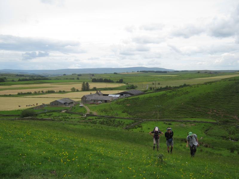
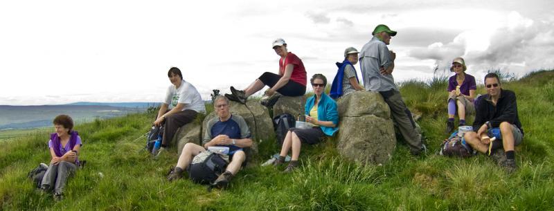
10 members congregated in Bardon Mill on a bright and sunny morning, anticipating a fine walk with some history thrown in! We proceeded north from Bardon Mill, passing under the A69 on a minor road, eventually picking up a track above Chainley Beck, which headed to the first Roman Fort on our route, Vindolanda, where extensive archaeological excavations have taken place for many years. Turning west the route followed a minor road and field paths, where we had our first view of Hadrian’s Wall, before reaching the Military Road (B6318). Although named the ‘Military Road,’ this was not a Roman road; it was constructed under the direction of General Wade, during the period of the Jacobite Rebellion in 1745, as a means of transporting troops and equipment quickly from Newcastle to Carlisle. This is not to be confused with the Roman ‘military way’ which ran just below the Wall to serve the forts, milecastles and civilian settlements.
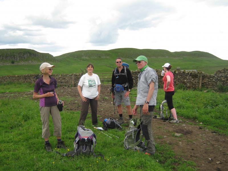
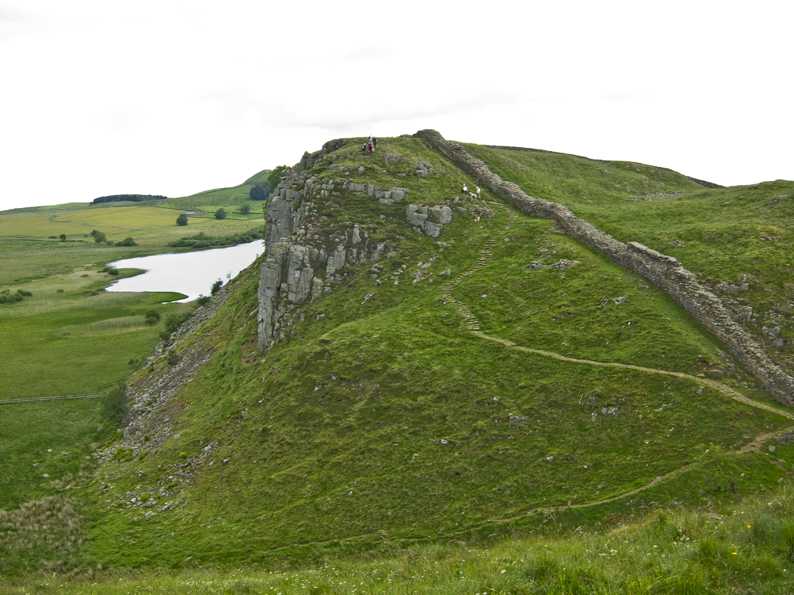
The route then headed up onto the Wall, close to Winshields Crags, which is its highest point and a welcome coffee break was enjoyed. We then followed the Wall in a westerly direction, following its undulations, to Cawfields Quarry. Just before Cawfields a fine example of a milecastle can be seen; these were situated a Roman mile apart along the length of the Wall and troops stationed within them. For additional fortification, turrets were located half way between milecastles. From Cawfields we continued west to the next Roman fort of Aesica or Great Chesters. Very little remains of this fort; some of the perimeter wall can be seen and the remains of a strongroom in the centre of the fort. Much of the stone can be seen in the nearby farm buildings. A short retracing of steps enabled us to leave the Hadrian’s Wall Path and strike through the ‘Barbarian Land’ north of the wall, passing the farmsteads of Cleughfoot; Close a Burns, Cawburn Shield, Longsyke and Wealside, the latter providing a useful lunch stop, offering views of the ‘back’ of the wall.
After lunch, further rough field paths took us to Greenlee and the edge of the vast plantations, which cover the area to the Scottish Border. Turning south from Greenlee, there were pleasant views of Greenlee Lough and we soon encountered the Pennine Way, which lay just beyond East Stonefolds. The Pennine Way undulated steadily over Ridley Common towards Rapishaw Gap on the Wall, an area slightly west of Housesteads Fort, our third and final fort of the day. Once at Housesteads, after viewing the layout of the fort as far as we were able, the suggestion of an ice cream break was welcomed by all! Then it was the last push; we re-crossed the Military Road below Housesteads and took field paths via East Crindledykes Farm to the final stretch over Thorngrafton Common. After a bright morning, rain had threatened since lunchtime and was now making its presence felt. Some of the group donned waterproofs in anticipation of a downpour, which frustratingly came within half a mile of the finish. The severity of the downpour scattered the group. All arrived back at the cars in a most bedraggled state, where conversation was limited!
