A MINING MEANDER - 6.7.08
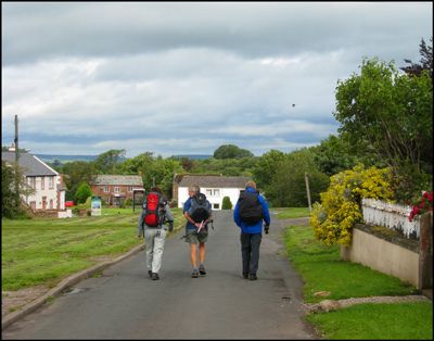 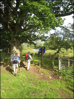 |
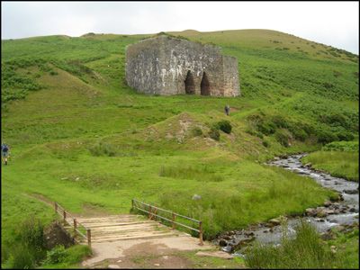
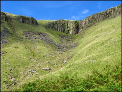
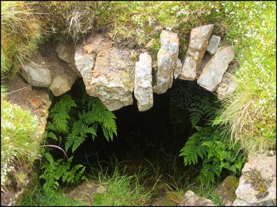
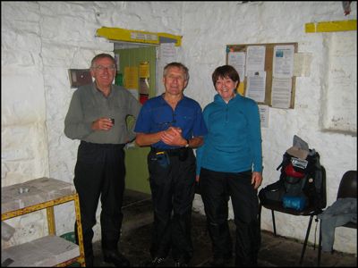
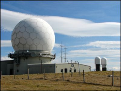
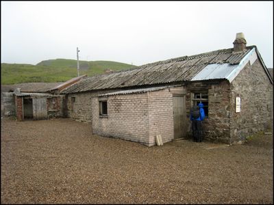
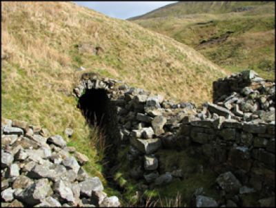
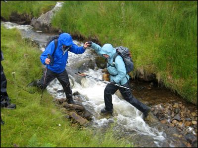
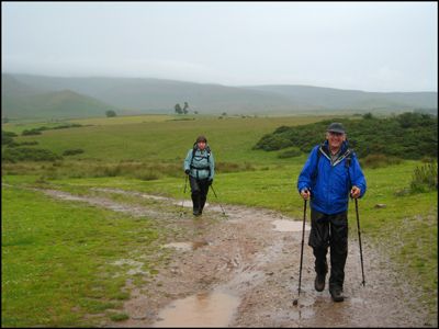
This walk saw a small but elite group of four, including leader Barrie, leave Blencarn en route to circumnavigate Cross Fell. The forecast was for heavy and prolonged showers but initially the going was pleasant and balmy as we travelled North past Blencarn’s artificial fishing lake to bypass Kirkland and Ousby on the way to the open fell.After passing a well-preserved double limekiln the steep ascent out of Ardale got the juices flowing though arrival on the plateau unfortunately coincided with the onset of wet weather. Undeterred we visited our first lead mine but passed on the opportunity to explore it’s hidden depths! We continued onwards to the refuge of Greg’s Hut, a bothy under the northern flank of Cross Fell, where it seemed sensible to have lunch under cover and try to dry out.The afternoon saw a long sweep east, south then west, via more mining relics, to eventually reach Tees Head on the other side of Cross Fell. Although rain was never far away spirits remained high as we briefly joined the Pennine Way to traverse Little and Great Dun Fell, the latter with it’s Civil Aviation Authority air traffic control radar station.Now homeward bound we dropped down to visit the deserted Silverband barytes mine, marvelling at the desolated moonscape-like scenery and exploring the old ruinous buildings. A long pathless descent ensued with numerous stream crossings and much bracken bashing before joining the return path to Blencarn under the wonderfully named Grumply Hill.After more than nine hours and 19 miles of ‘Pennine Exploration’ it was with considerable relief that we arrived back chez Barrie to enjoy tea and cakes courtesy of Barbara. |
         |
