LOWESWATER FELLS - 11.11.12
Leader Derek reports -
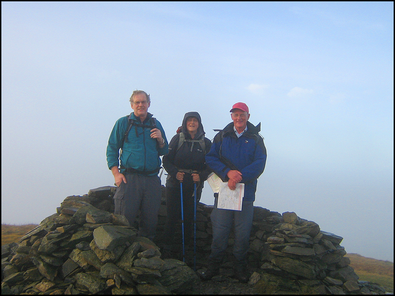
The weather forecast promised a dry and bright day for the walk and so it turned out. Jim, Andy, Louise and myself made up the small select group which started out from Felldike car park promptly at 8.35. We soon skirted Cogra Moss reservoir, climbing steadily up through conifer forest paths before emerging onto the steep grassy slopes of Sharp Knott. It was then a steady pull up to the summit of Blake Fell which was unfortunately shrouded in early morning misty cloud obscuring what would have been a great view.
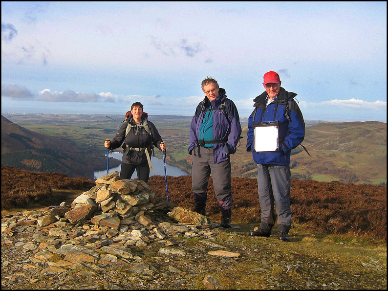
Having rested a short while for a photo opportunity we set off in a southerly direction heading for Gavel Fell following the ridge path fence. The going was fairly easy but wet. After reaching Gavel Fell we continued following the fence the visibility improving all the while. We eventually crossed the fence and headed west for Floutern Cop from the top of which there was a grandstand view of Floutern Tarn nestling at the bottom of Great Bourne. We coffeed briefly before pushing on. The next bit was a trial. It was wet, wet, wet. Where it wasn’t wet it was muddy. At least the sun was shining.
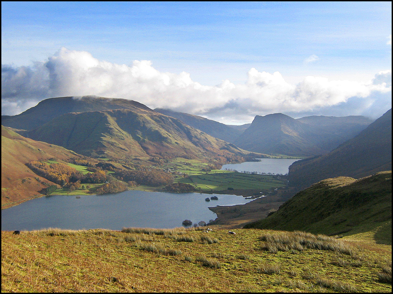
Having survived the top end of Mosedale we crossed Black Beck and headed for the dryer slopes of Mellbreak. After a strenuous climb, where we took every opportunity to look back at the stunning views, we eventually caught up with Andy at the southern summit. There was some argument about which was the highest point on Mellbreak. Looking north, about a mile away, you can make out the Northern summit which certainly looks higher. But the map shows that the southern summit is 512m which is 3m taller than the north. Nevertheless it was the northern peak where we had our lunch. It definitely seemed higher when we looked back.
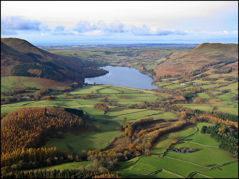
The descent from Mellbreak was quite hairy but the views were breathtaking. By the time we had gingerly negotiated the treacherous scree and the slippery wet rocks our legs were jellified. It was a relief to be once more on the flat terrain and we were soon passing the calming glassy waters of Loweswater. By now the sun had become shrouded in cloud and we had seen the best of the day.
Then it was onwards and upwards once again –this time through autumnal HolmeWood before reaching the grassy slopes of Burnbank Fell. Having reached the top we picked up the ridge heading south for Blake Fell. We soon diverted from that before descending in the gathering gloom for the last time through the woods, past Cogra Moss and back to the car and home again before it got really dark.
