A ROMAN ROUND - 13.2.11
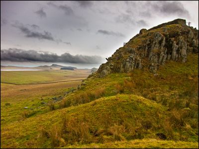 |
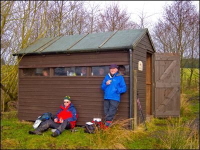
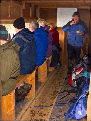
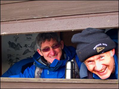
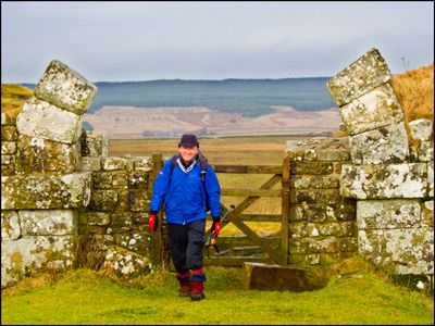
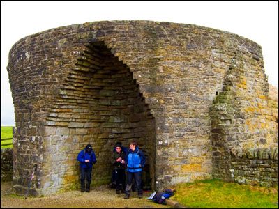
Leader Louise reports -Despite an unfavourable forecast, the weather remained dry on the whole for our foray into the northern and southern hinterlands of the Roman Wall. Mud was certainly the order of the day as eight group members and new member Judy left Cawfields Quarry car park and headed in a northerly direction to the ‘wild side’ of the wall. The route followed field tracks, which passed several small farmsteads, before a luxurious coffee stop at the Greenlee Lough bird hide. Unfortunately, no bird life was spotted and the visitors’ book inside the hide confirmed the general lack of recent avian activity on the lough!Soon after Greenlee, the route met the Pennine Way and turned south towards Hadrian’s Wall, with interesting views of the dolorite cliffs at the ‘back’ of the wall. At Rapishaw Gap where the Pennine Way meets the Wall the group headed east to Housesteads and then over the Military Road to follow the southern section of the walk. An unusual lunch stop at Crindledykes Limekiln afforded some shelter before the last section of the walk was tackled. This section skirted Vindolanda Roman Fort, and offered views of the fort and reconstructed turrets. The return to Cawfields on elevated field tracks and roads provided views of both the Wall and the Tyne Valley. The distinctive sharp edge of Cawfields hove into view as we descended to the Military Road and back to the quarry car park. Having just passed The Milecastle Inn, several group members returned there for some liquid refreshment! |
     |
