
Report on the Hadrian Hundred Route
 The exact origins of the Route are lost in the mists of antiquity of more than three years ago. Originally entitled the ‘Centre of Britain’ in a reference to Haltwhistle’s claimed position, a change to the ‘Hadrian Hvndred’ seemed much more appropriate.
I’m sure it was Bill Milbourne who first sketched out a possible journey linking Hadrian’s Wall, the Pennine Way and Cross Fell to Dufton then returning via High Cup Nick, Teesdale, Weardale and Allendale.
After the first committee meeting there was a rush to prove the Route which was done in several stages with much enthusiasm by Northumbria group members. At about that time I made the rash promise to write the Route Description which took five major iterations before it became the finished article.
I walked the Route several times over the next three years and gained much pleasure and satisfaction doing so. Logistics were sometimes difficult but with the help of a judiciously placed bike and sometimes a second car plus walking pal, the sections all gradually came together.
Version 5 of the Route Description was published on the website about a year before the Event so that reccies could be possible. This generated a lot of interest, comment and advice most of which was very useful. Another task was to produce the GPX file of the Route which is now rightly deemed to be an essential tool and this again received considerable attention.
The various checkpoint venues gradually came together with a good mix of Village Halls, a Youth Hostel and a couple of barns. Only two checkpoints were outside in cars or tents though those on the Marshal’s walk had to contend with a few more of these.
Much angst was generated in meetings with numerous public bodies and quangos none of whom wanted us to walk over their territories especially when we wanted to do so. Eventually we came to various agreements which left us more or less where we wanted to go.
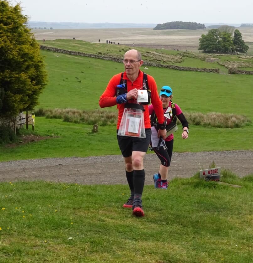
The jewel in the crown of the Event was undoubtedly the long section on the Hadrian Wall Path showcasing the best bits of this National Trail. Summiting Cross Fell was an ambitious aim enabling us to claim a high point in LDWA Hundreds.
Little were we to know that the mountain weather gods were offended and, after many weeks of benign and clear conditions, served up truly atrocious weather right on cue for the plateau traverse. Similarly the world class vistas of and from High Cup Nick were largely hidden though will, of course, still be available on a return visit.
Several sections of minor road walking such as the Dun Fell road and Allendale were included for safety reasons which was amply justified given the conditions. All in all I hope that the Route was sufficiently varied to give something for everyone.
Whatever opinions there are there is no doubt that the day served up a satisfactory challenge which most will remember for years to come!
Tony Deall


